Day 410 – Quito to Machachi (Ecuador) – 40km/569m climbing
Day 411 – Machachi to Machachi (hard fought 12k further) – 12km/611m
Day 412 – Machachi to Cotopaxi National Park – 17km/411m
Day 413 – Cotopaxi to Latacunga – 45km/112m
Day 414 – Latacunga to Ambato – 45km/513m
Day 415 – Layover @ Ambato
Day 416 – Ambato to Riobamba – 56km/1055m
Day 417 – Layover @ Riobamba
Day 418 – Riobamba to Guamote – 49km/787m
Day 419 – Guamote to Alausi – 45km/660m
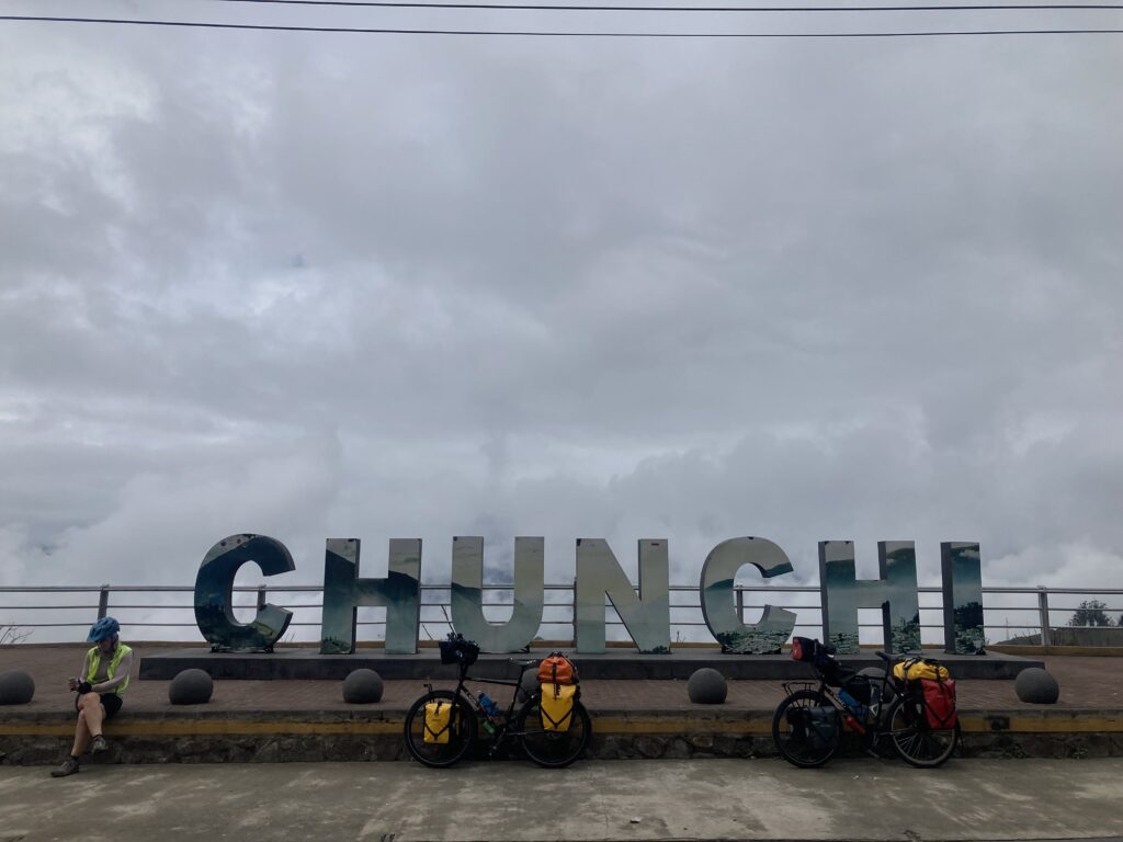
Day 420 – Alausi to Chunchi – 36km/757m
Day 421 – Chunchi to El Tambo – 60km/1672m (almost 5,500 ft!)
Day 422 – Layover @ El Tambo
Day 423 – El Tambo to Cuenca – 78km/1162m
Total trip distance: 10,488 miles (16,885 km) Total trip climbing: 523,356 feet (159,552 meters)
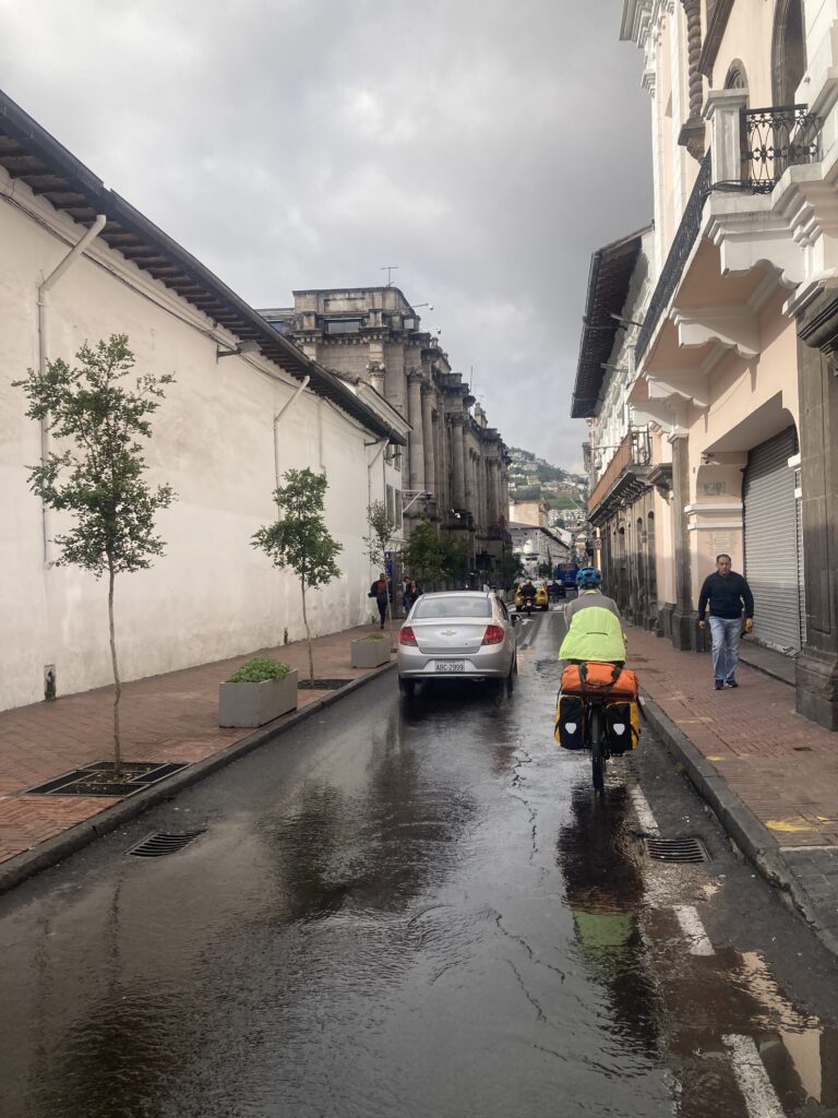
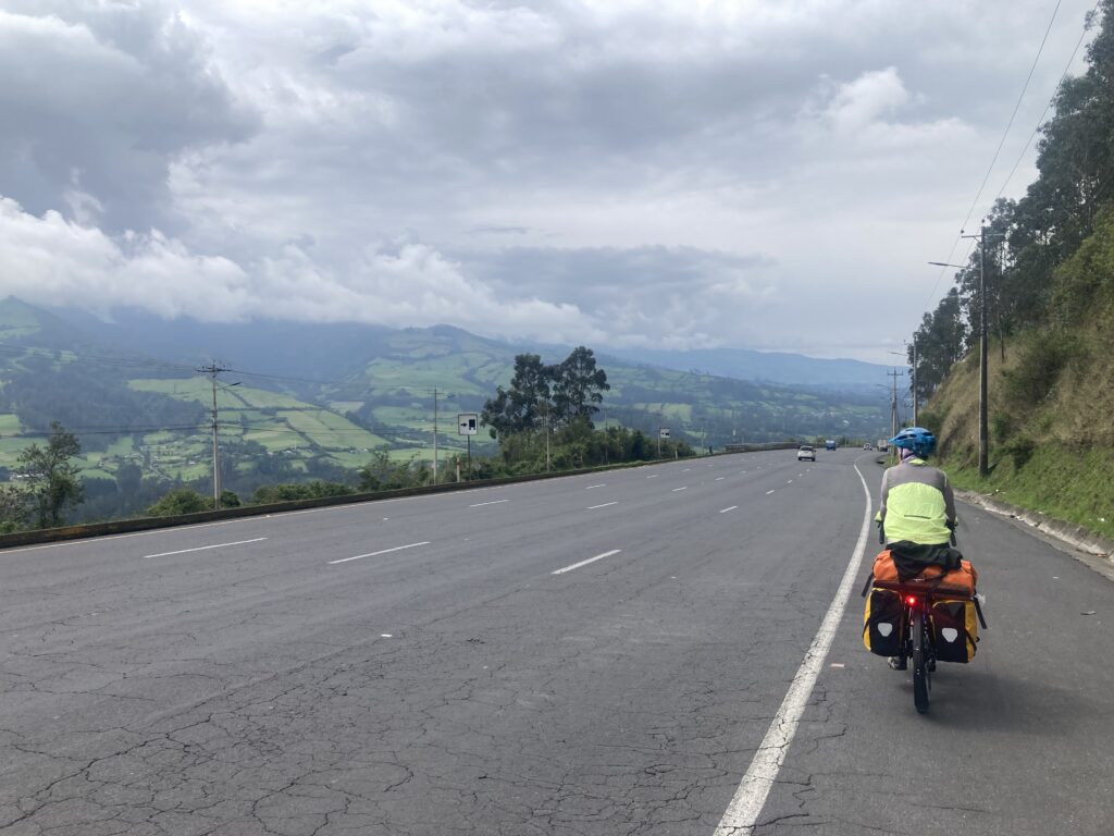
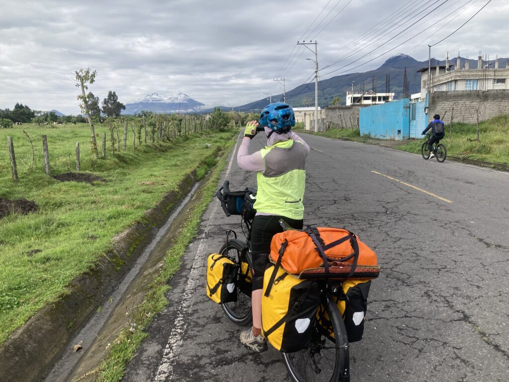
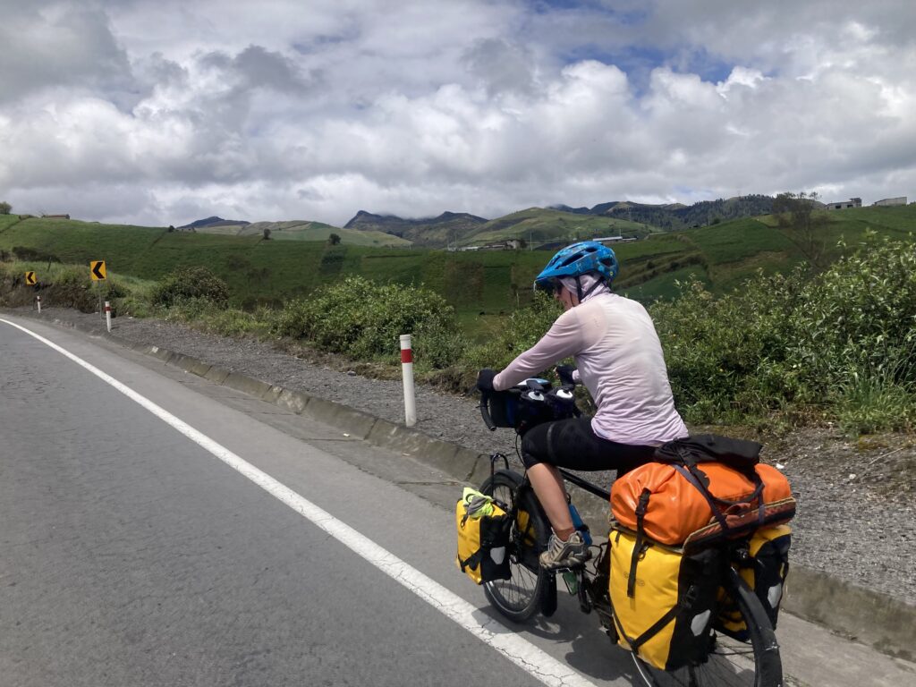
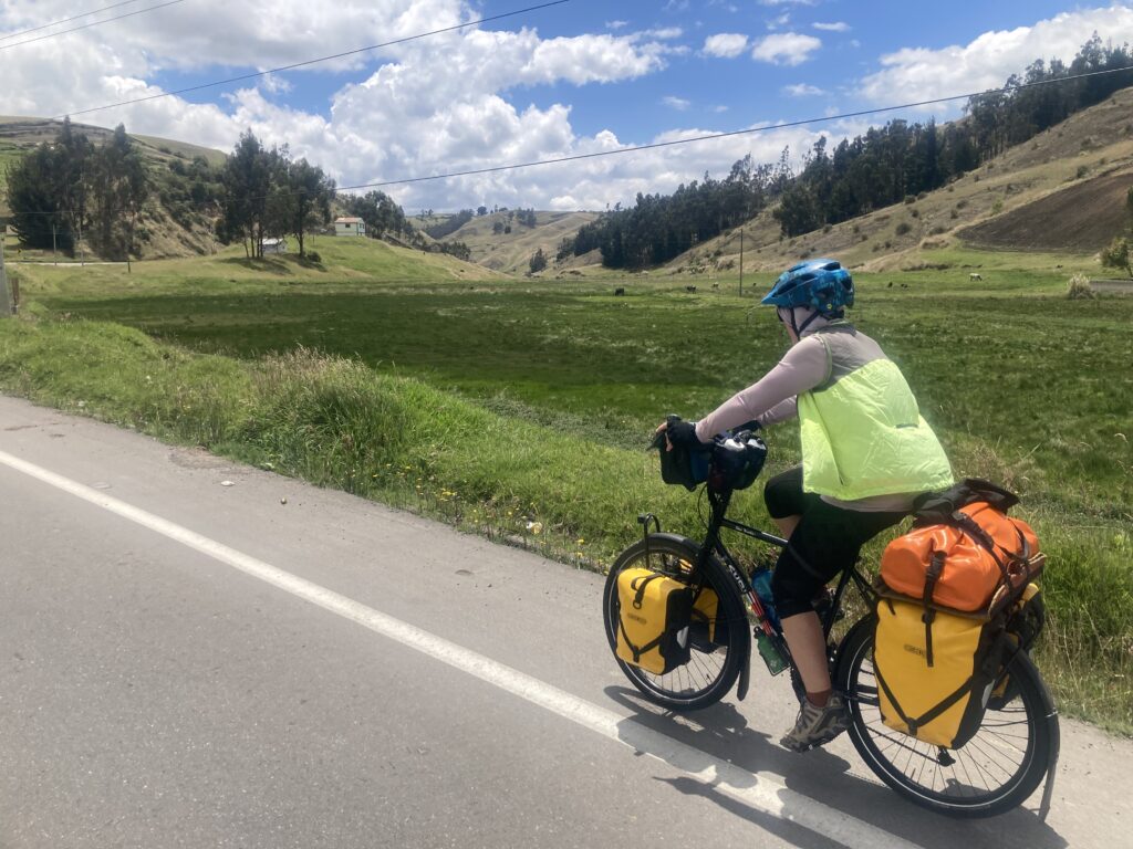
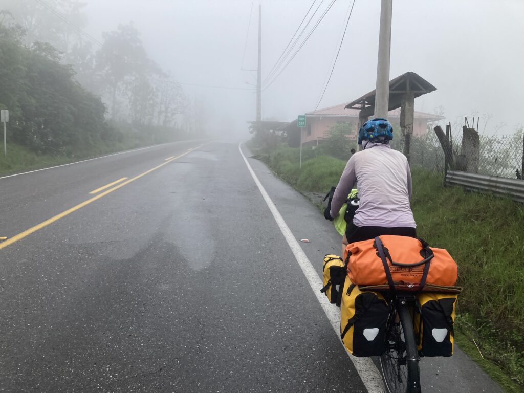
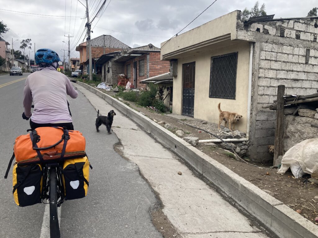
After 4 months off the bicycles, a side trip to the Galapagos & time in Quito to get ready, finally we got on the road again! We departed Quito right after a national holiday (Cuenca Independence Day) and therefore the chaos and traffic was at it’s prime as people had been off for two days. We white-knuckle rode out of Quito for almost 20km dodging busses, trucks, semis, cars, people, carts, deep pot-holes and dogs. Then we cycled for another 20km almost all on the PanAmerican highway quickly being reminded of the traffic and noise but thankful to have good pavement & a hard shoulder.
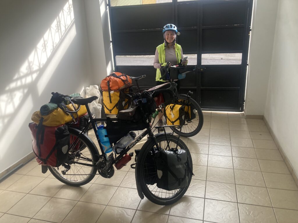
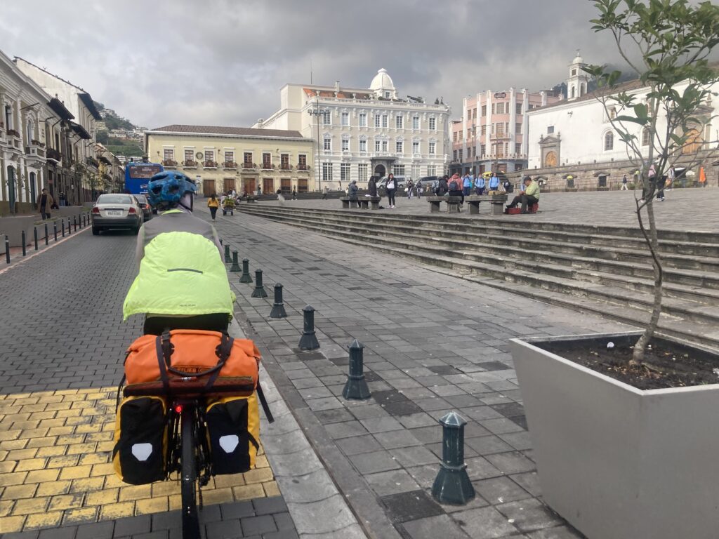
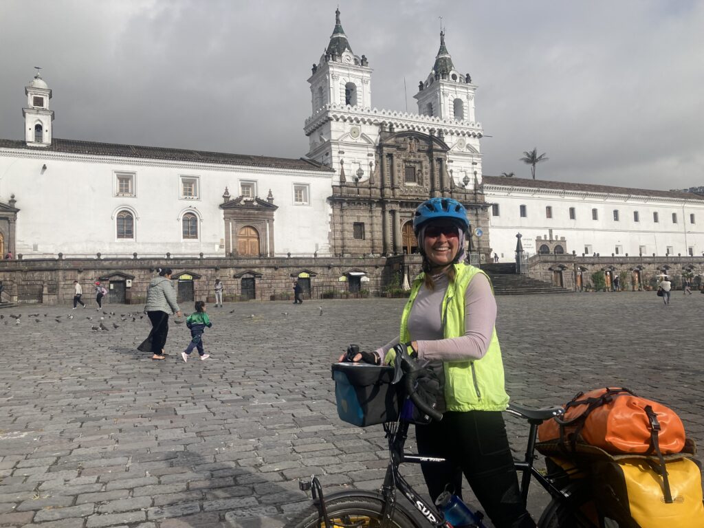
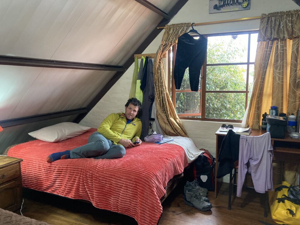
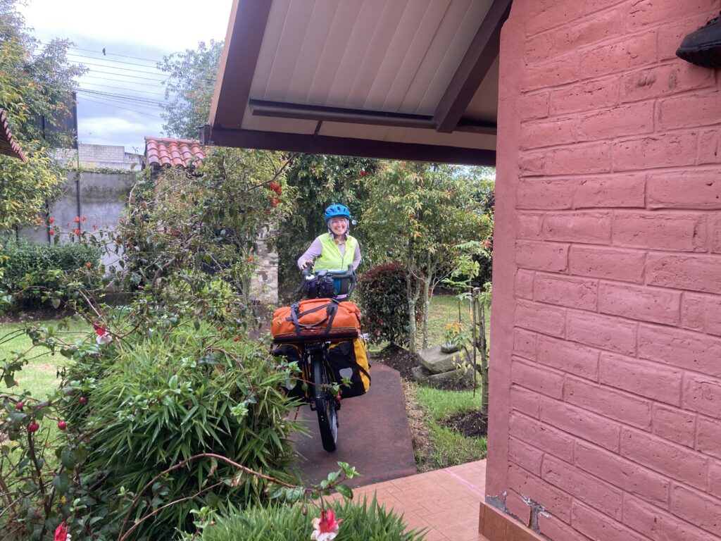
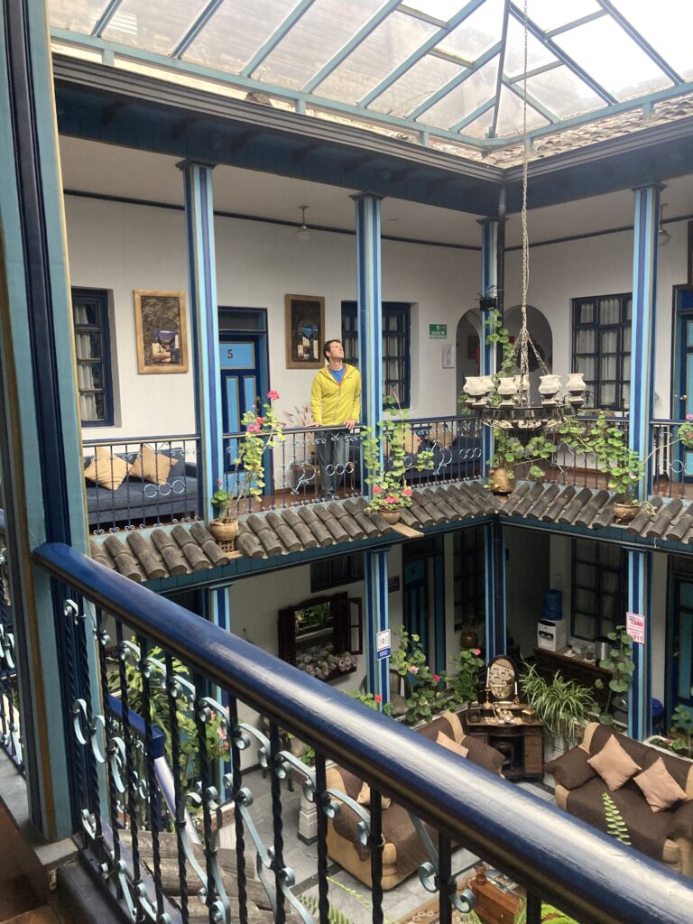
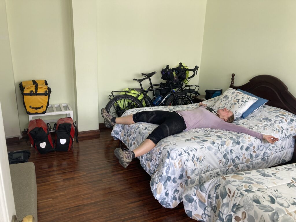
In the garage at our Quito AirBnB, packed and ready to head out.Riding through QuitoHow did we miss seeing this until our last morning in Quito?Old town of Quito before the chaos of the streets started…then we’re too focused to take any pictures. Finally out of Quito with a nice hard shoulder – we can enjoy the scenery
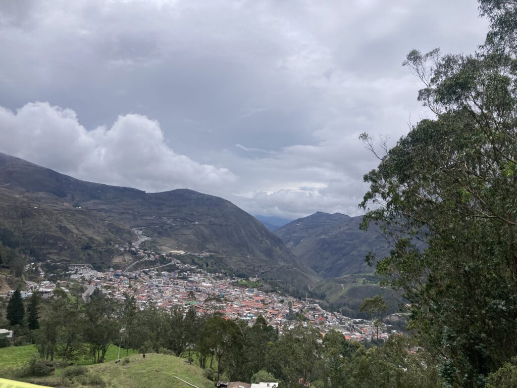
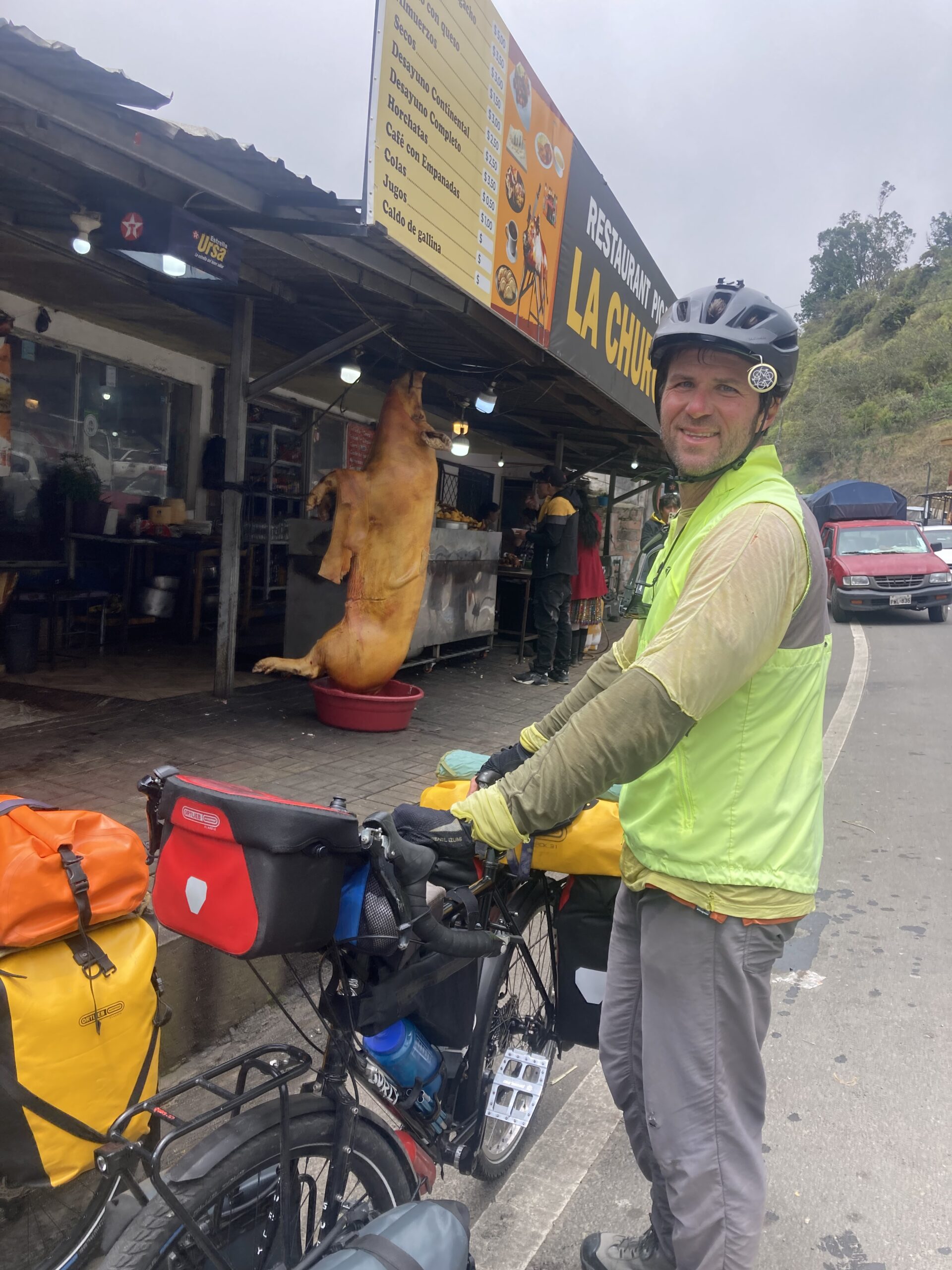
We are riding through an area that has been coined the “Avenue of Volcanoes” and we stayed the night in Machachi (pop. 24,000 el. 9,466 feet) which is a base camp for climbers hoping to summit Cotopaxi (5897m / 19,342 ft) – Ecuador’s second highest peak. Actually, there was a mix-up with a lost key at our hostel and we ended up in a room with an occasional view of Volcan Corazon (4790 m / 15,711 ft) when the clouds cleared.
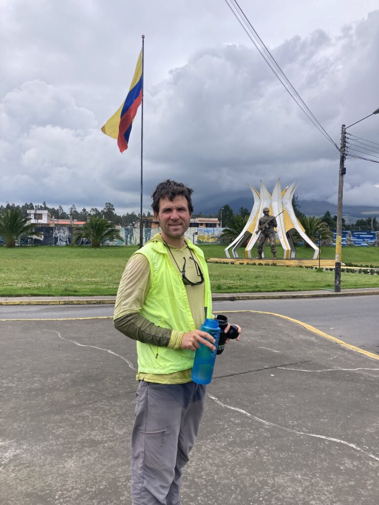
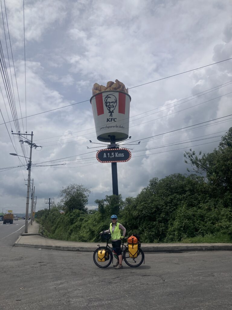
Just outside of Machachi there was a military base – we stopped for a much needed break from the PanAmerican Highway. Behind Dustin you can see a soldier statue.Advertising Machachi’s KFC – this must be a very popular fast food here because when we flew to the Galapagos people were bringing buckets of KFC to the islandsRiding into Machachi, in an area coined the Avenue of the Volcanoes, the low hanging clouds obstructed our views of the peaks Showered and cozy in Machachi with our cycling clothes hanging everywhere.
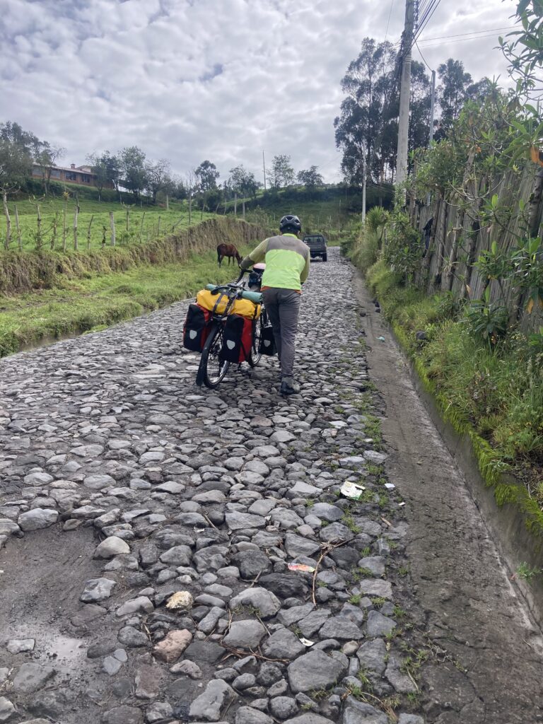
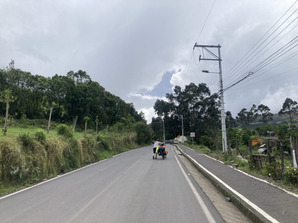
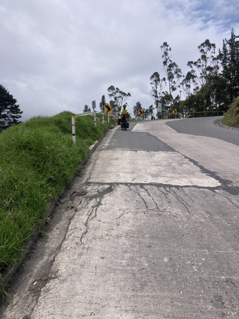
In attempting to make our way to Cotopaxi, the next day we cycled/pushed a meager 12km but gained 611m in elevation – it was a very hard fought 12km (7 miles) up large cobblestones and steep grades. For the cherry on top, we got to do the last hour in the rain (with a little hail). It is no understatement to say we were THRILLED to have reached our accommodation looking like a couple drowned rats on bicycles.
We ended the day at 3,500m (11,500 feet) elevation – this is the highest we have ever slept (other than an artificially pressurized fuselage during air travel) let alone bicycled. At this altitude we only have about 65% of the oxygen that we experience at sea-level making high cardio-output bicycling extra challenging.
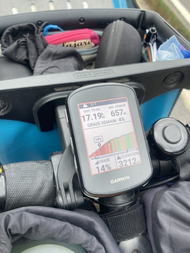
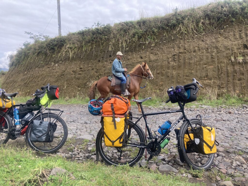
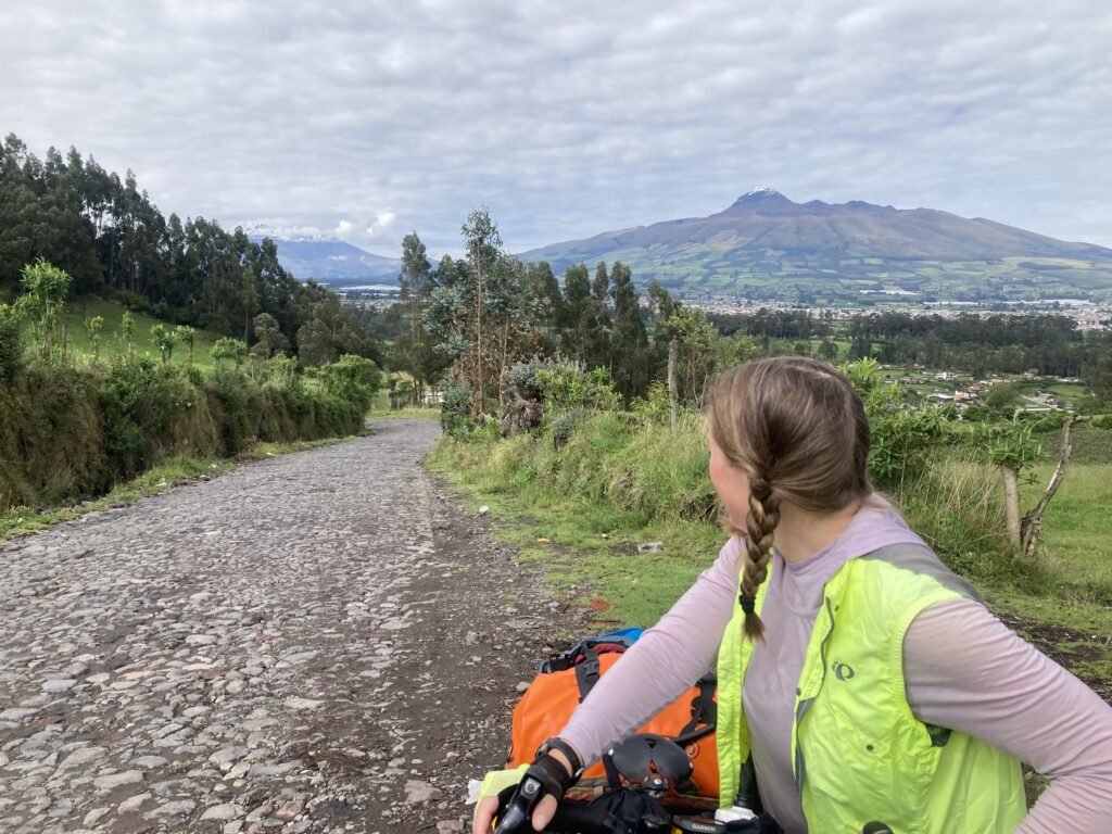
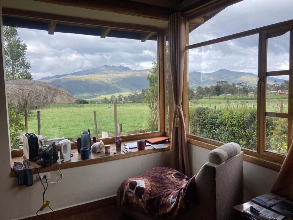
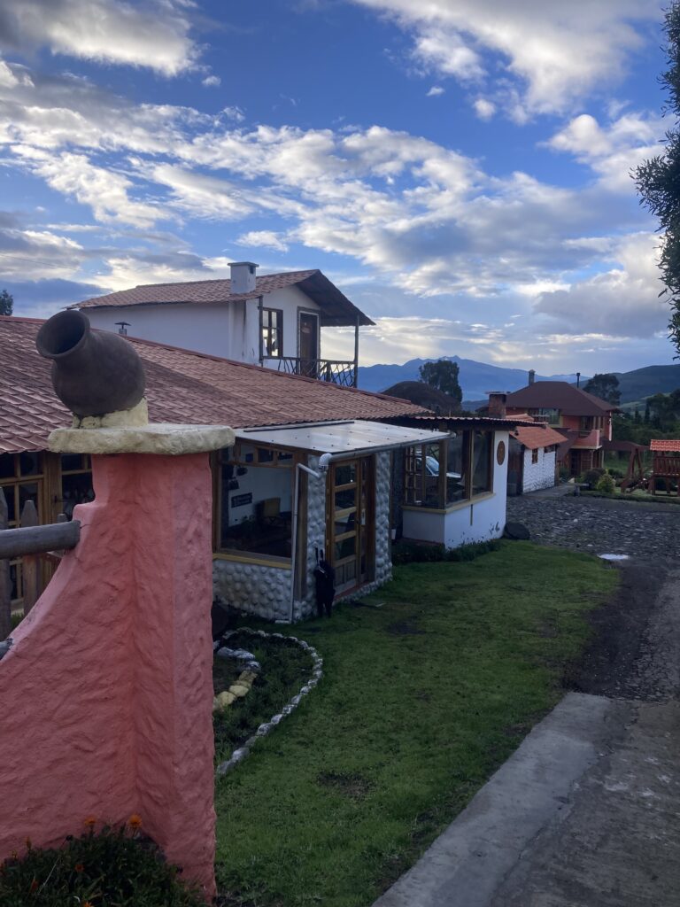
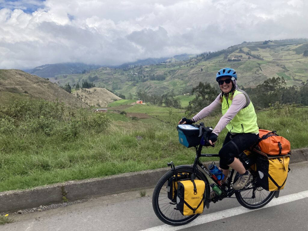
Bright eyed and ready to roll from our Machachi accommodationLeaving town Patricia is photographing Volcan Iliniza Sur (twin peaks on the left) with Volcan Corazon (on the right)A local moto had quite the decorated helmetIt was a tough hike-a-bike toward the North Entrance of Cotopaxi – we only went 12 km this day! There was some insane climbing for loaded touring bicycles – 14% is hike-a-bike. 14% on cobblestones is cry worthy 🙂During a break from cobblestone hike-a-bike we were passed by a man on horseback Patricia looks back at the progress we made – down in the valley is Machachi.Eventually the road changed from cobblestones to smooth pavement but it was still pushing to make it up the insane gradesAfter pedaling the last hour in rain (and hail) – sorry no pictures…just trying to get through it, we treated ourselves to a fancier than normal lodging after a such hard day (and it was Patricia’s birthday!)This was our hotel “Ruta de los Volcanes” (The Route of the Volcanoes) – our room in the peach colored building on the right had an amazing view of the valley and volcanoes.
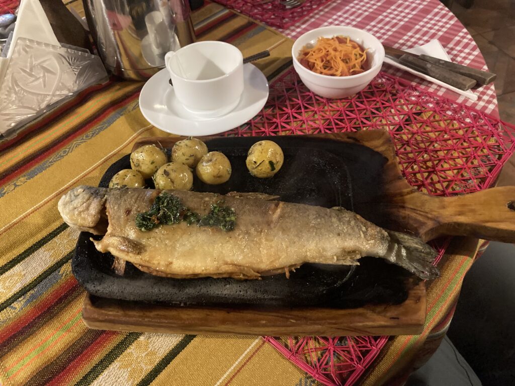
At the hotel we had scheduled to have dinner for Patricia’s birthday – the manager was also a chef and we’d read rave reviews about the food. Well, when we arrived for dinner, an older woman was speaking so quickly in Spanish that we didn’t exactly understand what she was saying. Finally we got down to “chicken or fish” and we said we’ll take one of each. She went into the kitchen, donned an apron & began cooking. A few minutes later the hotel manager/chef, her son, came in staggering/fall down drunk and finally it all made sense! Apparently his “amigo” was celebrating a birthday and they began imbibing quite early so Mom stepped in to prepare our dinner – so typical for Latin America…it just all works out. She took a break from the kitchen to put her son to bed and then came back and finished our meal – it was delicious!
Dinner made by the manager’s mom while he was incapacitated – fish served on a sizzling hot lava rock that kept the food piping hot during the entire meal.
Cotopaxi
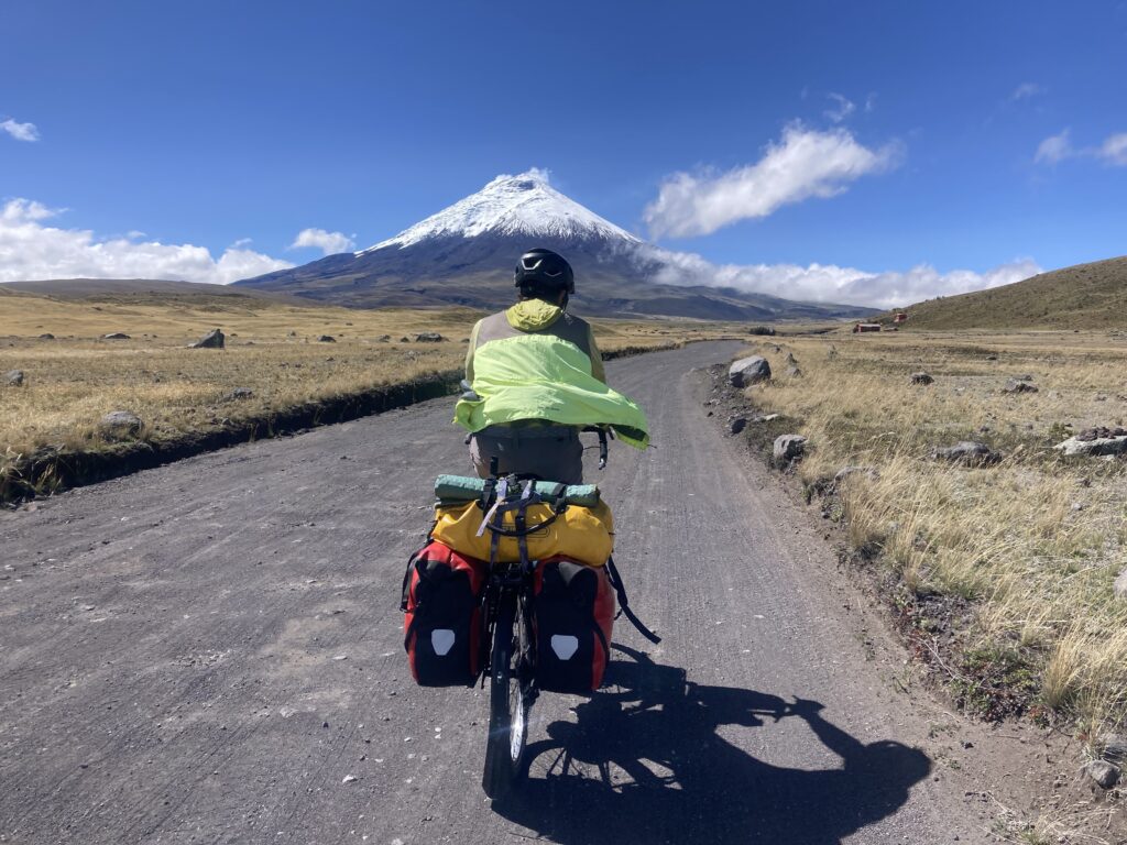
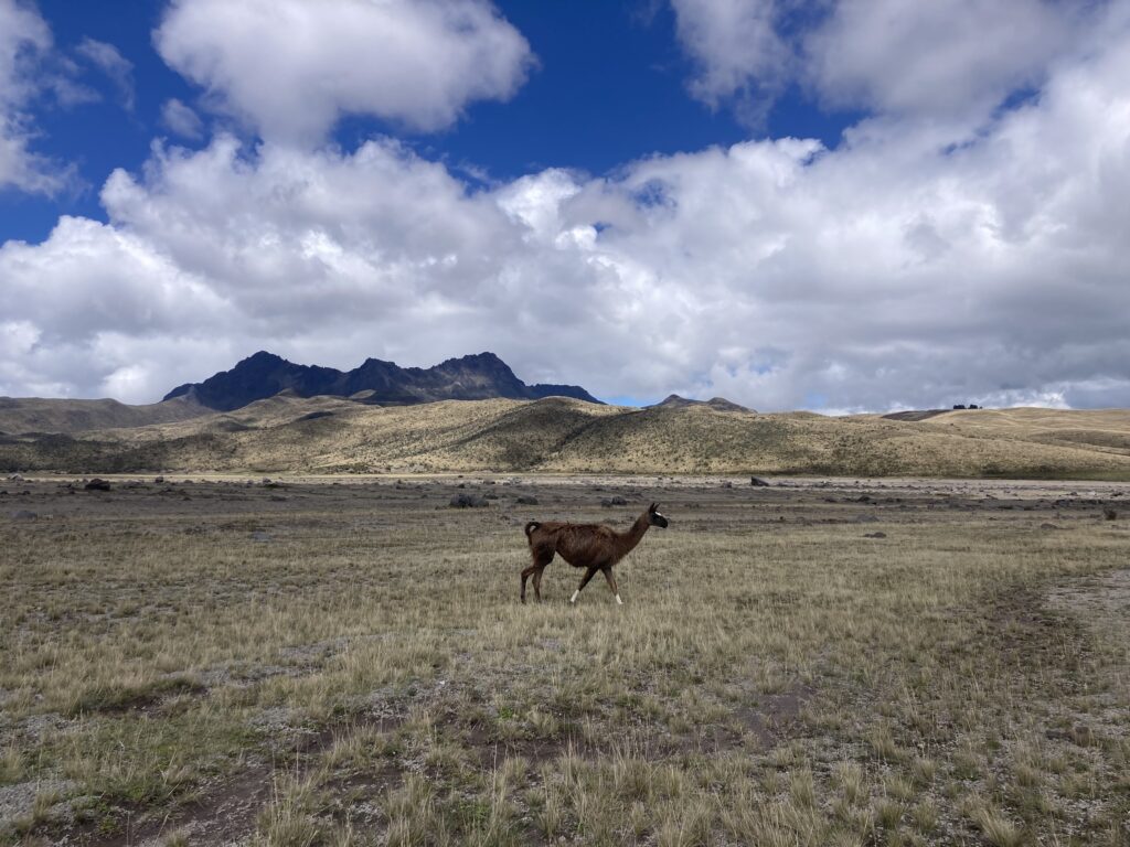
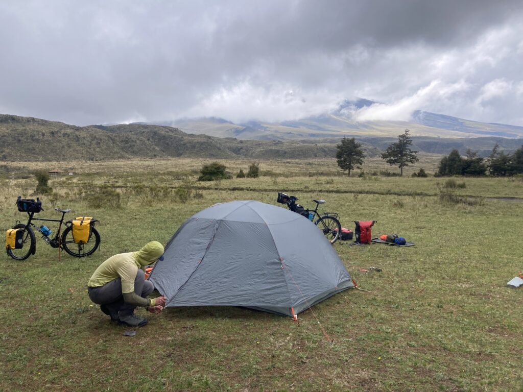
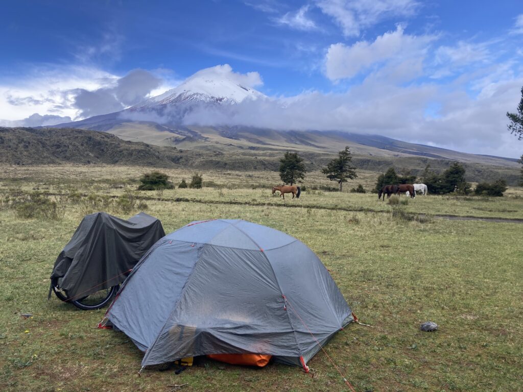
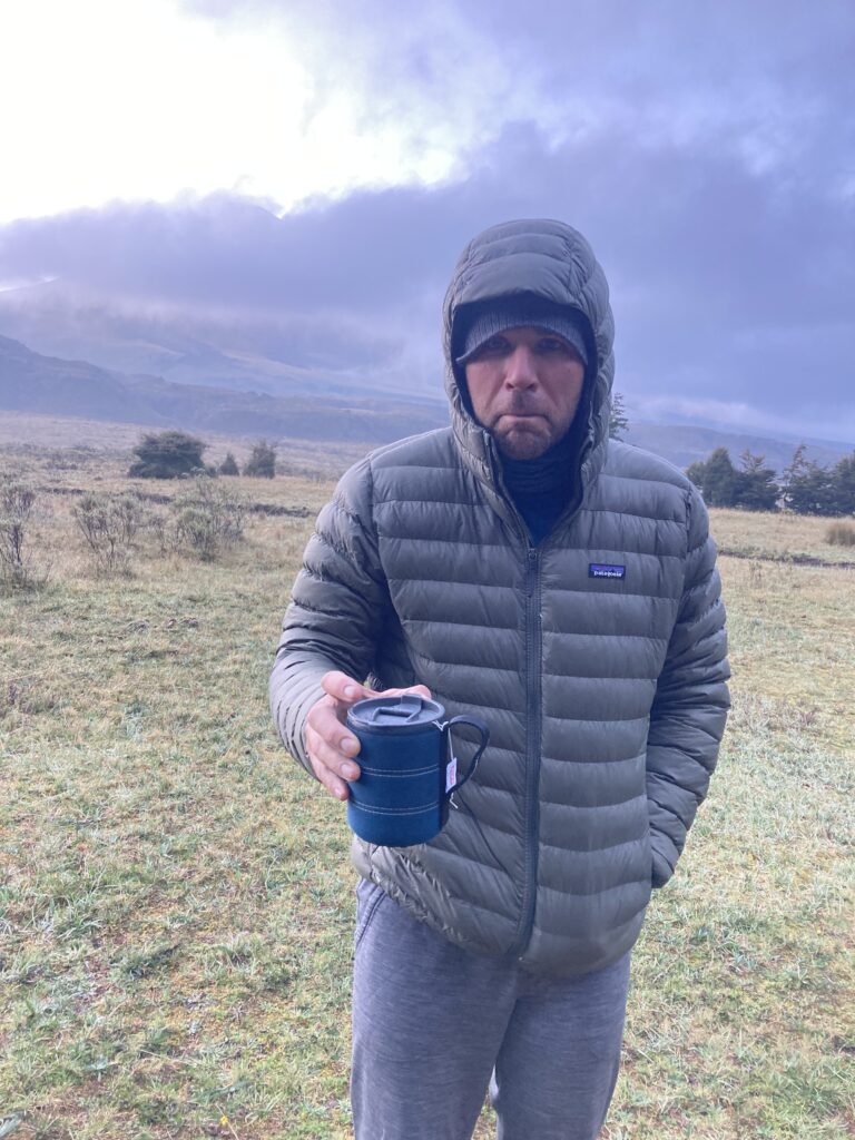
The next day we cycled into Cotopaxi National Park through the less frequented North Entrance and were treated with epic views of this active volcano (5897 m / 19,350 ft) whose last eruption was in 2022-2023. Feeling the elevation in our lungs, and occasionally gasping for breath because we only had 62% of the oxygen compared to sea level, we were happy to get to our campsite after a mere 17km of cycling. For our first camping since Panama, we camped at 12,600 ft and enjoyed watching the clouds come and go, often very quickly, around the volcano.
Dustin cycles towards Cotopaxi (19,350 ft) – Ecuador’s second tallest mountain. A llama in Cotopaxi National Park. Interestingly, the American outdoor brand, Cotopaxi, uses the llama as its mascot. While setting up camp Cotopaxi volcano was shrouded in clouds. We camped at 12,600 ft and were winded simply setting up the tent because of the lack of oxygen at this elevation.Views of Cotopaxi came and went all evening while we were camped. No volcano view, no coffee and it was 3C (37F) at 6:02 am – life is ruff!
A rash of gear mishaps…
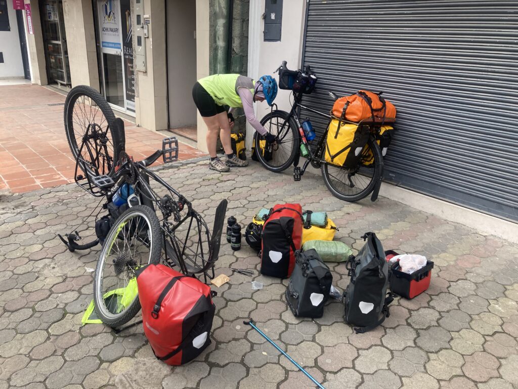
On a trip such as this one’s gear is critical – we carefully researched and then selected our equipment, tested it, and did practice shake-down trips. Most of the gadgets we’ve selected are not available where we are bicycling and therefore are even more precious to us. Within a span of two days – our first two back on the road… were a couple tough days on our stuff:
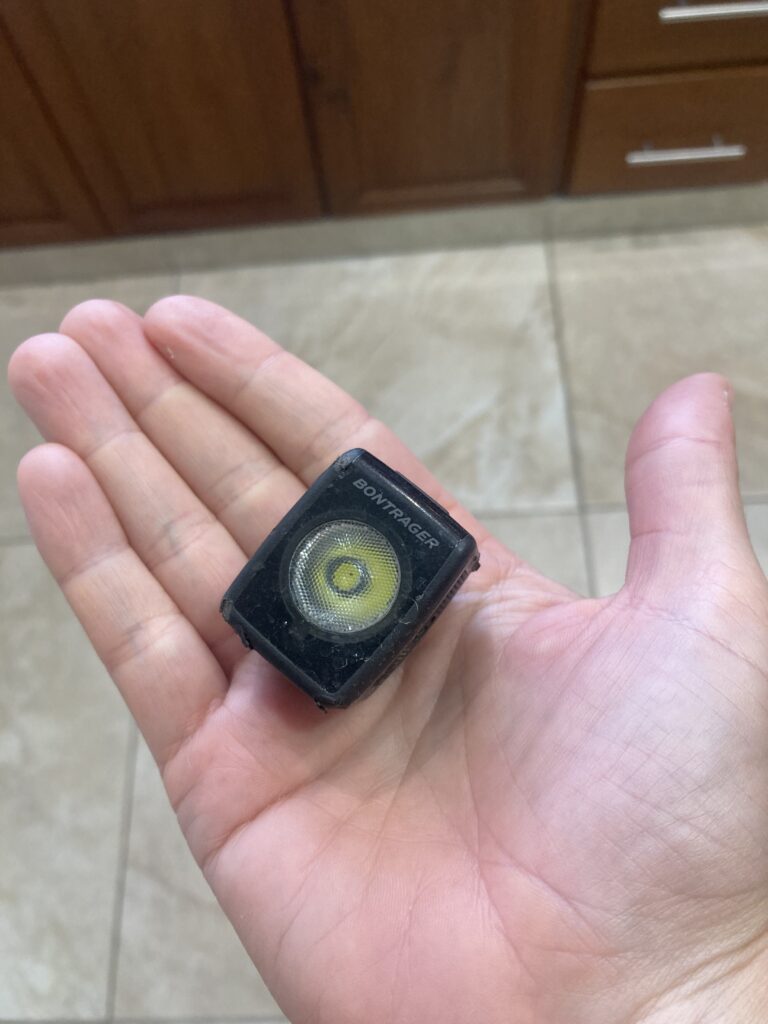
*Trek (Bontrager) rear flare light fell off Dustin’s bike not to be found again – presumably the cobblestone jostling or his helmet, which was clipped to his rear bag at the time, knocked it loose.
The Trek/Bontrager flare light – we run white on the front and red on the back. These lights are visible from up to 2km away – we’ve had RVers & truckers stop and thank us for using these lights. Many thanks to our friend, Jonathan, for introducing these to us!
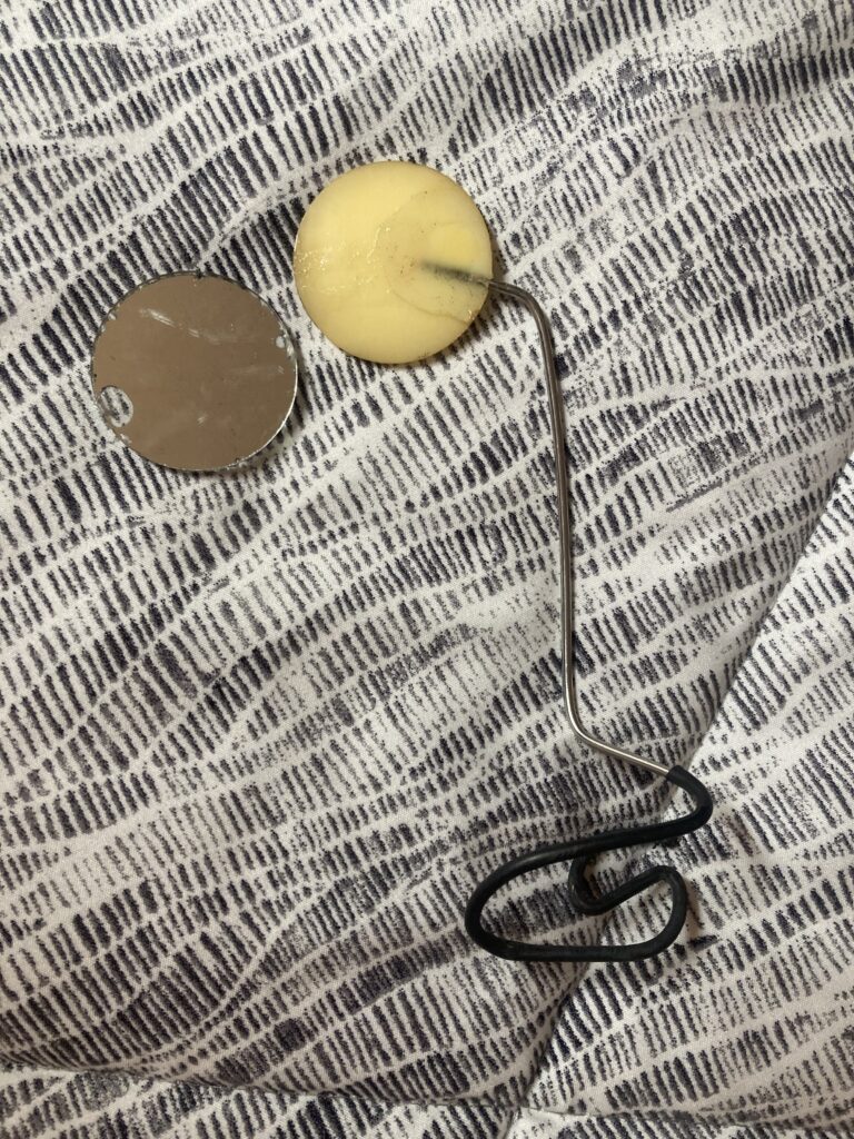
* Patricia’s helmet mirror fell apart – the piece which holds the mirror on was curling and shrinking after over 2 years of constant use and sun exposure. We knew this piece of gear was coming to the end of it’s life as Dustin’s had already fallen apart. These helmet mirrors are critical for being able to see cars/trucks/dogs behind us.
Patricia’s tiger-eye helmet mirror came apart and the mirror crashed on the pavement. Our brains are so trained to look in these mirrors that we ofter will look to the location they are supposed to be when not wearing them!
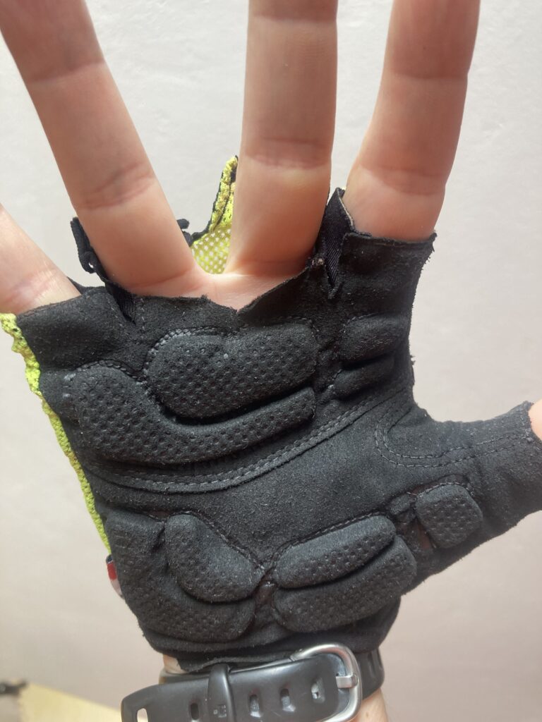
* We melted Patricia’s gloves attempting to dry them – whoops! We were able to cut off the melted hard plastic pieces and will sew them back together. We kept her old gloves as spares, just in case.
We melted Patricia’s cycling glove attempting to dry them near a fire
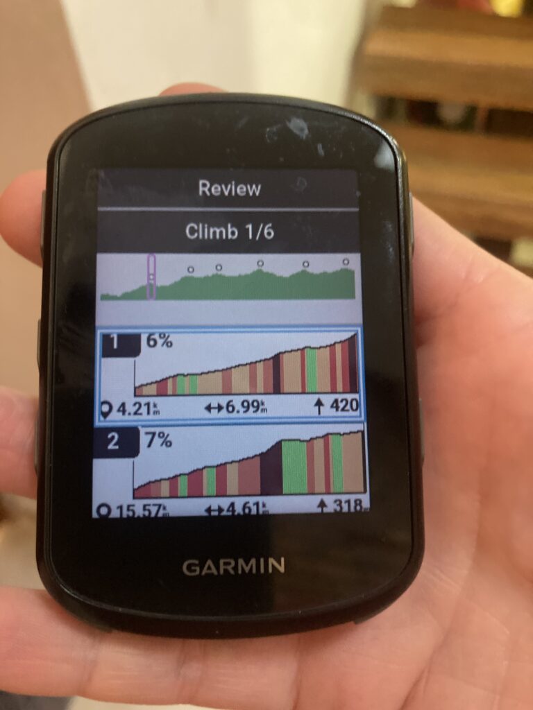
* Our cycling Garmin started having lines through it when we are at high elevation Cotopaxi – thankfully, by the end of the day, when we had come down in altitude, the lines had gone away but it reminded us how critical this electronic device is to us.
Our cycling Garmin (more like Patricia’s cycling Garmin because it lives on her bike) is critical for all our data: distance, altitude, climbs, grades, headings, etc.
Thankfully for the flare light, helmet mirror, & gloves we had spares – did we mention we travel pretty heavy compared to most cyclists?! For the Garmin we don’t carry a spare but we could use our phones as a back-up and we’ve seen the Garmins available for sale in the major cities of Latin America.
Ambato
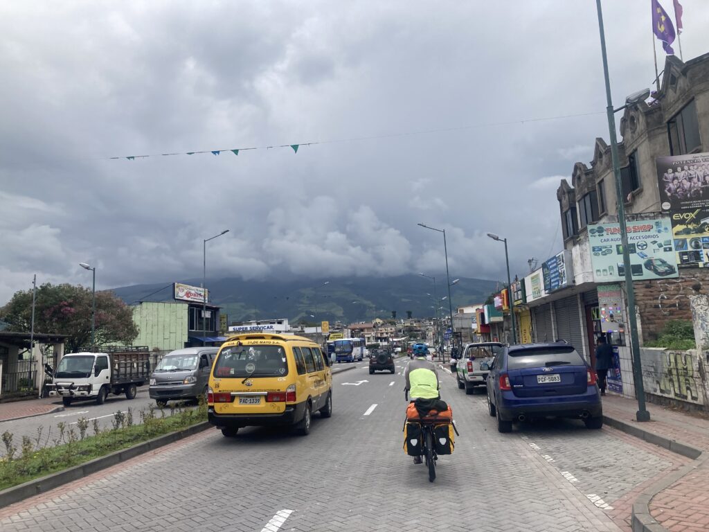
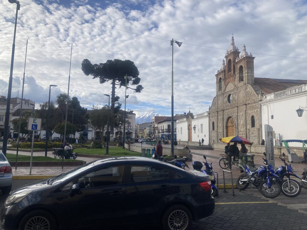
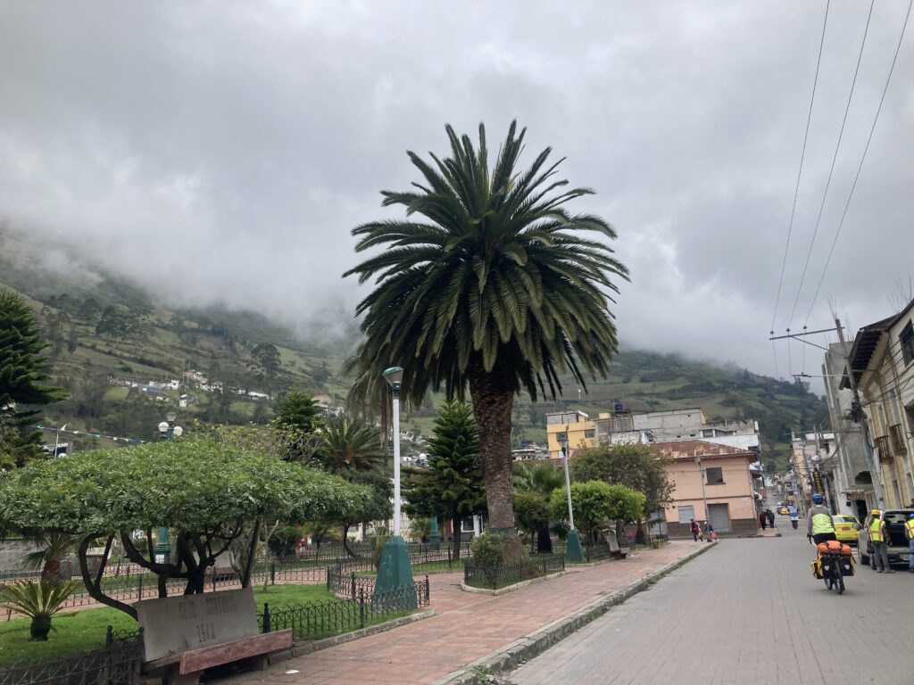
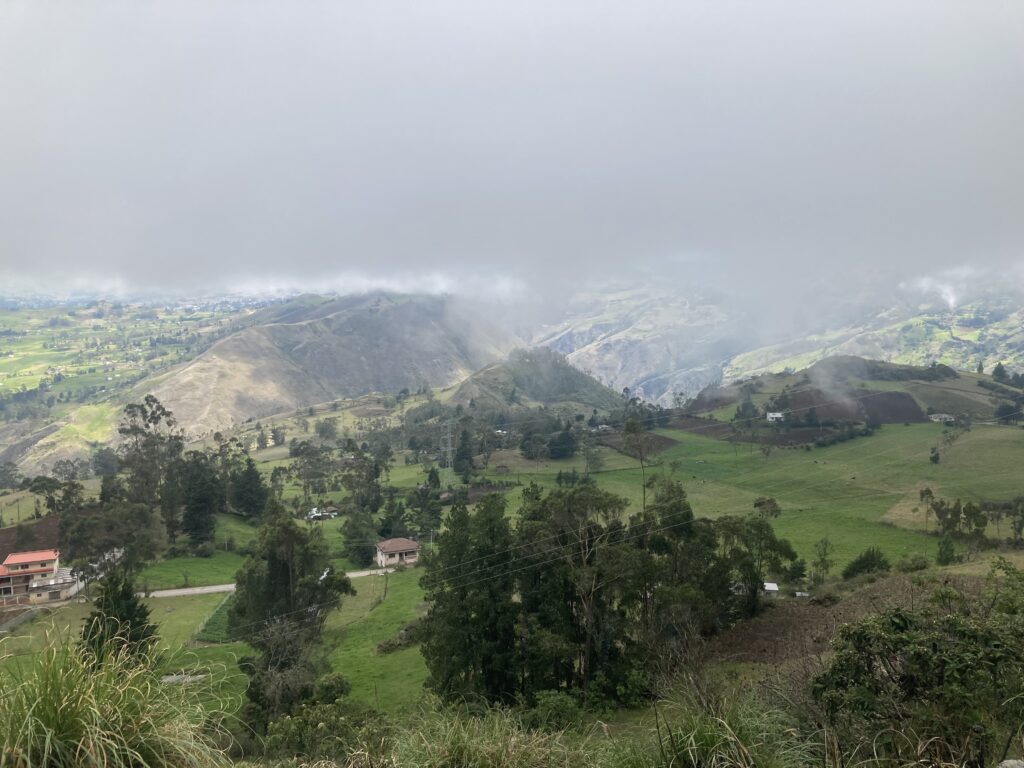
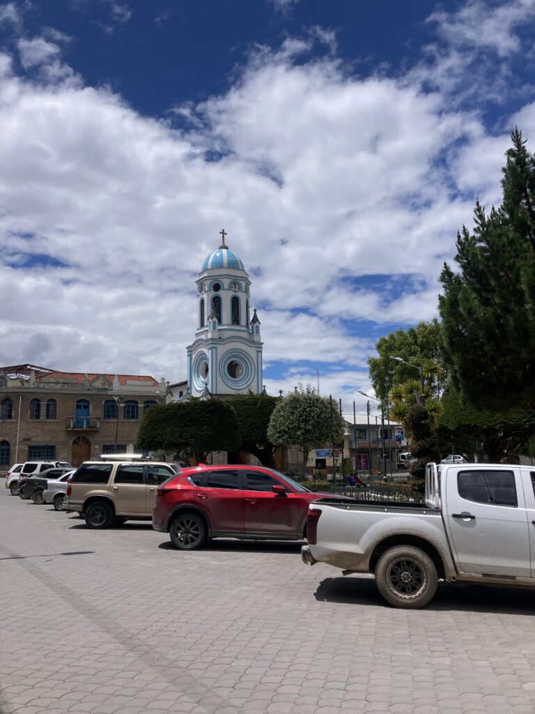
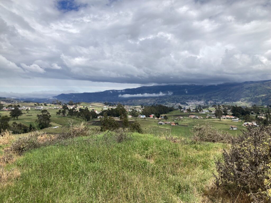
After Cotopaxi we spent two days riding south toward Ambato (pop 177,000; el 2580m / 8500 ft). This sprawling city lies in the largest Andean valley surrounded by volcanoes and mountains on almost all sides, including two of Ecuador’s tallest – Cotopaxi & Chimborazo. Ambato is nicknamed “The City of Flowers and Fruits” because of the significant agricultural industry in the areas around the city. Many of the rural areas surrounding the city grow produce and flowers – we cycled by thousands of greenhouses on our way into town.
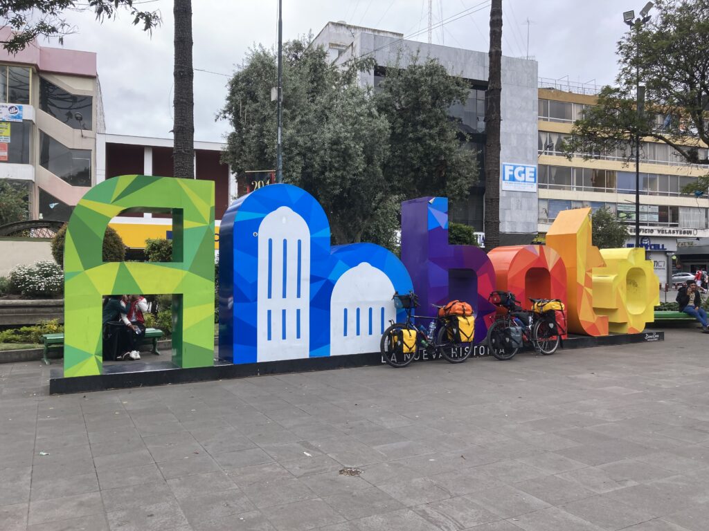
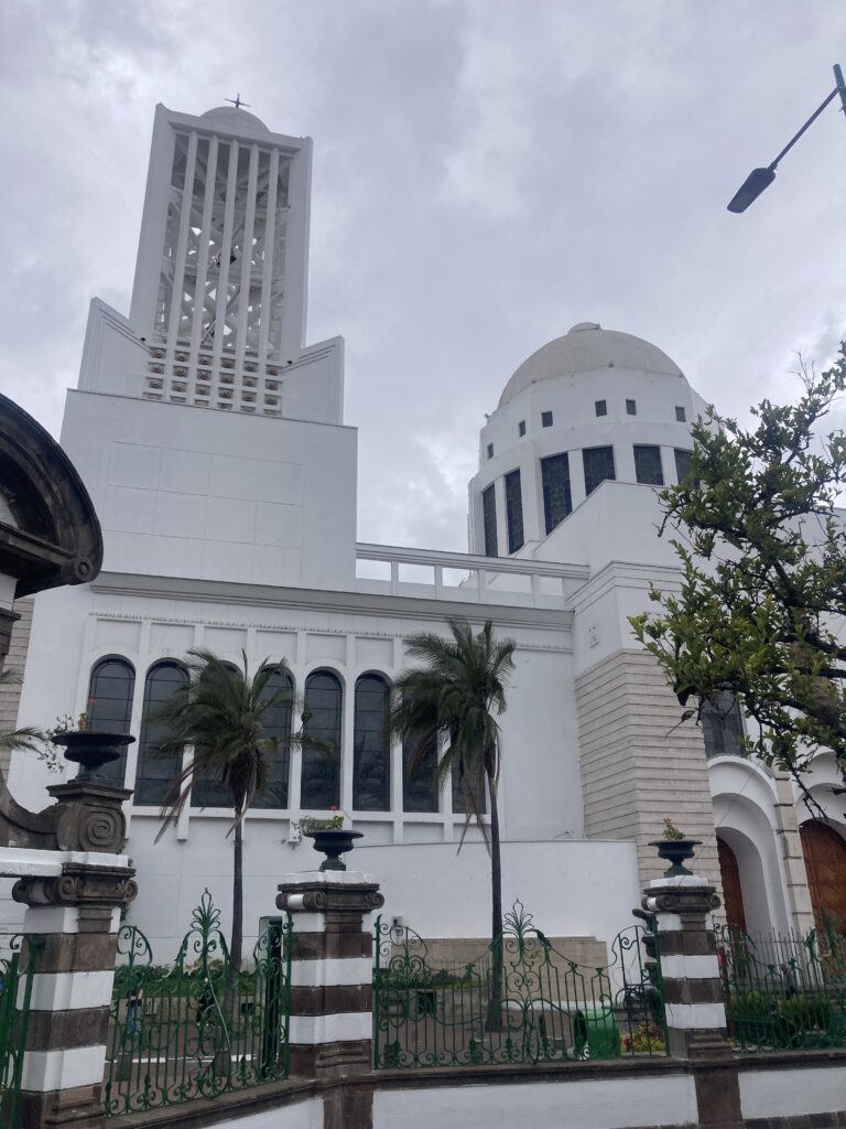
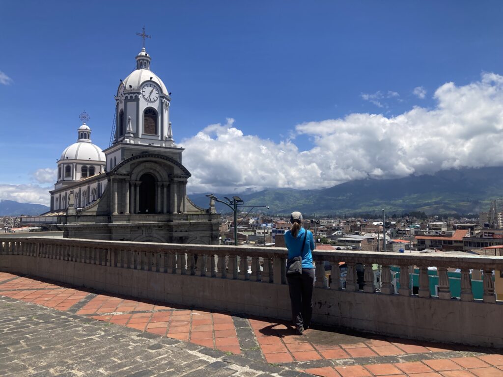
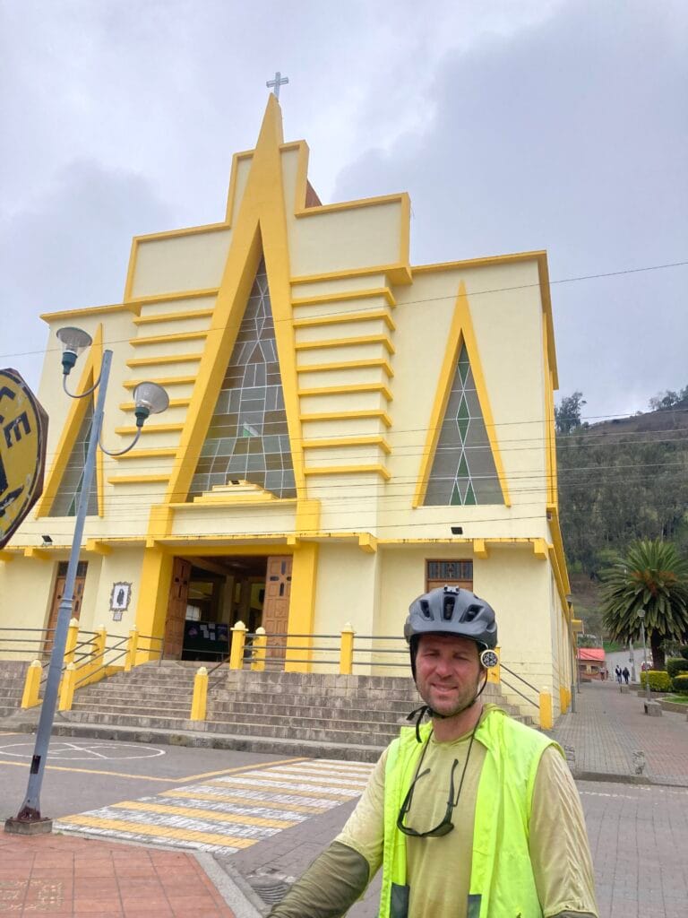
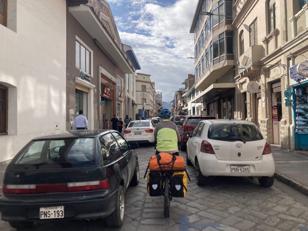
As we rolled into town we found las letras for Ambato in the Parque CevallosA unique church in Ambato. Similar to several Andean towns we’ve visited, Ambato was quite hilly making pedaling a loaded touring bicycle extra challenging – there were a few sections of hike-a-bike. In this photo, the white building near the center, is the Basilica Cathedral of Our Lady of the Elevation – the town’s main cathedral which was completed in 1954 after an earthquake destroyed the previous church from the 1600s.
As we are currently in the Pacific Ring of Fire where tectonic plates come together to for subduction zones and therefore volcanoes & earthquakes. Ambato’s most recent earthquake, in 1949, destroyed most of the historical buildings of the city. So the cathedral in Ambato looks different than most churches we have seen in Latin America – it has a modernist flare as a result of it’s 1954 completion.
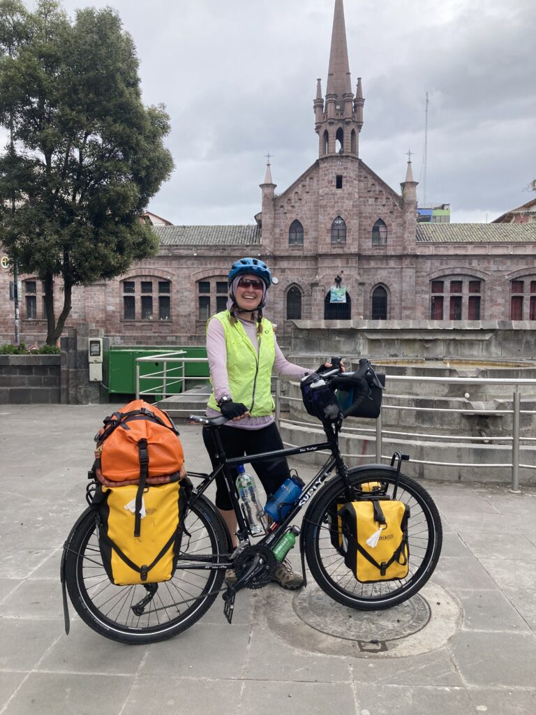
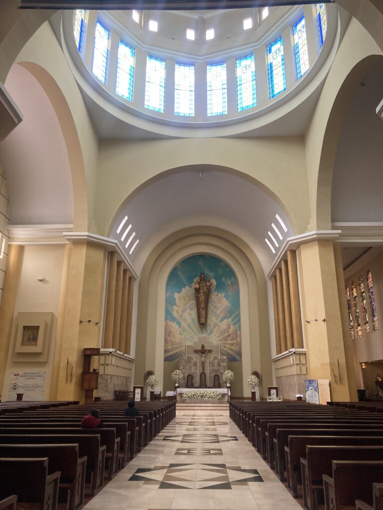
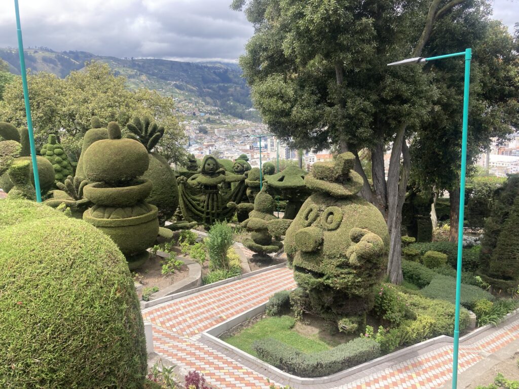
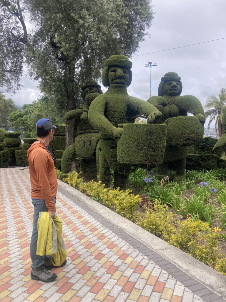
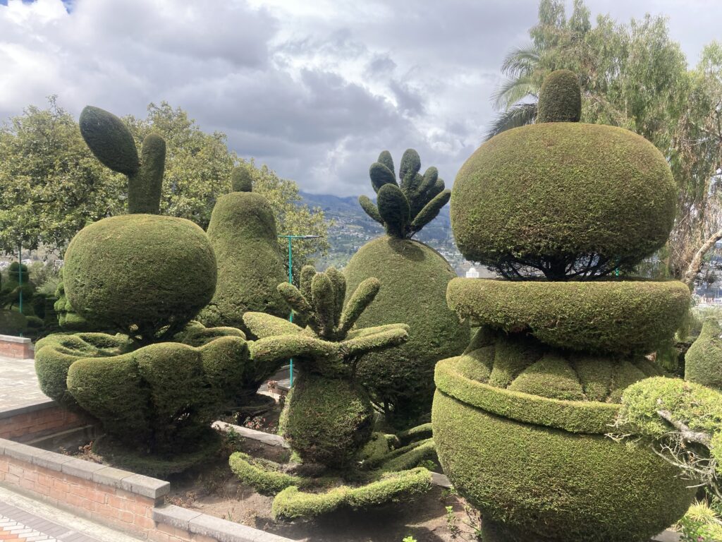
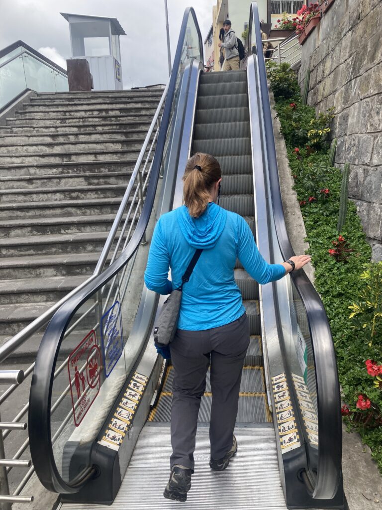
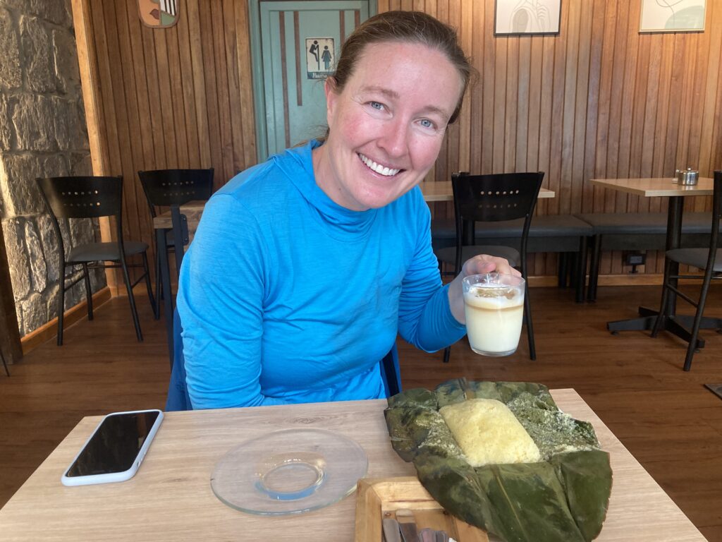
Ambato’s cathedral, Basilica Cathedral of Our Lady of the Elevation, is quite different than most we have seen in Latin America with its modernist flare. It was completed in 1954 after an earthquake destroyed the previous building. Inside Basilica Cathedral of Our Lady of the Elevation – this simplistic modernist building is quite the contrast to many of the gilded cathedrals we’ve seen.We enjoyed a Topiary Garden during our walk in AmbatoTo get up one of the busy hills in Ambato there was a series of 7 escalators – we were thankful! Taking a break at a cafe in Ambato we tried “Quimbalito” a steamed sweet dough served in a banana leaf. Did we mention our accommodation in Ambato was a 5th floor walk-up? Who booked this place?! Good thing we had a day off in Ambato to recover from the stairs 🙂
Riobamba
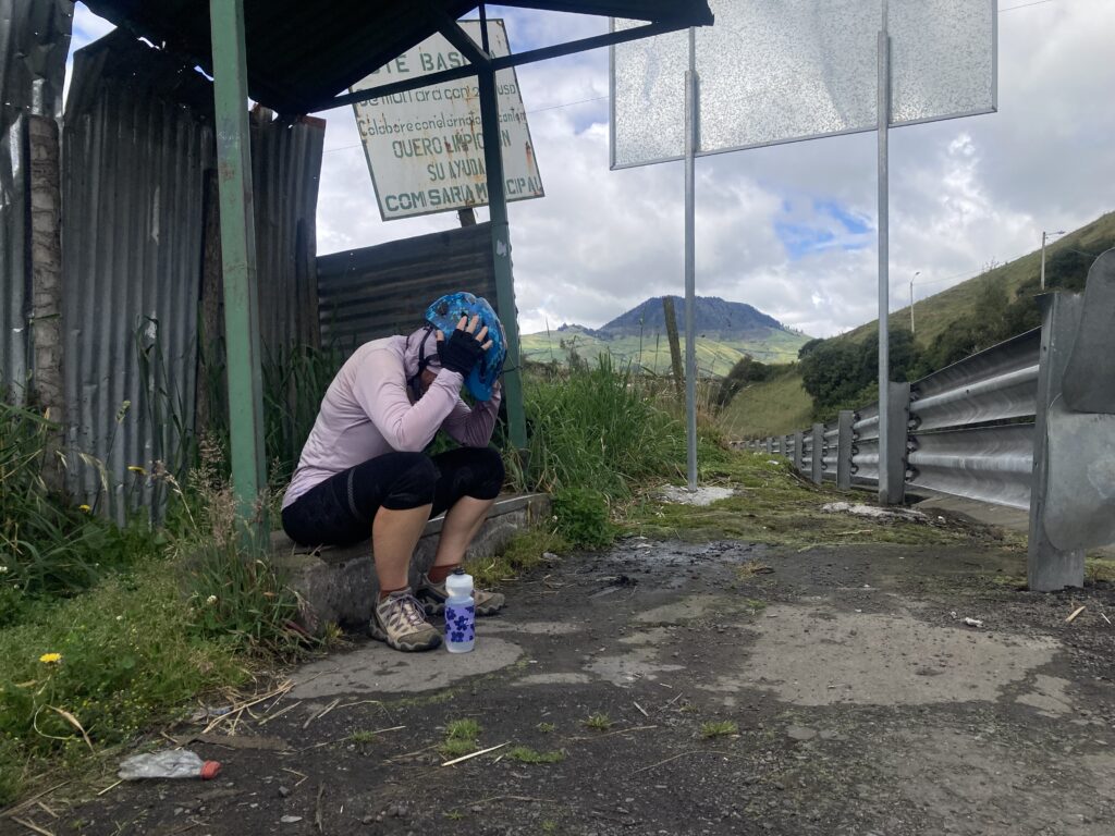
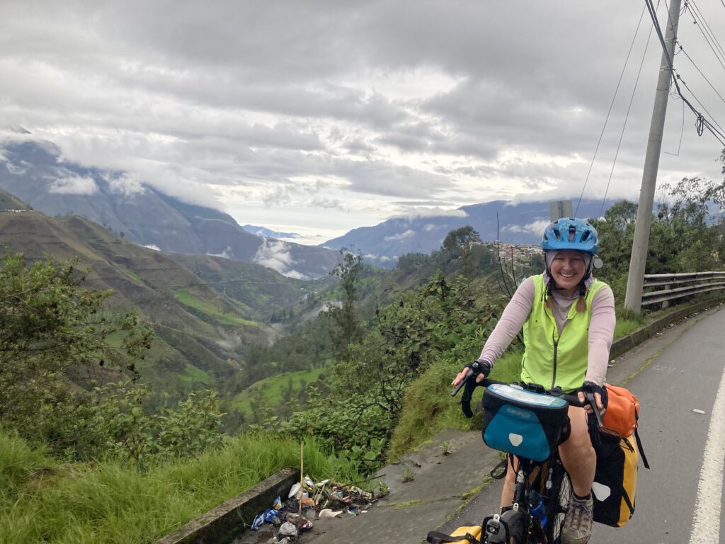
We climbed out from Ambato to the colonial city of Riobamba over a pass at 11,800 feet and Patricia was definitely feeling the altitude or her lack of fitness – we stopped twice to allow her to recover. Historically Patricia was a great climber and Dustin would lag behind but now she was struggling…maybe all that time off the bicycles wasn’t so good for her?
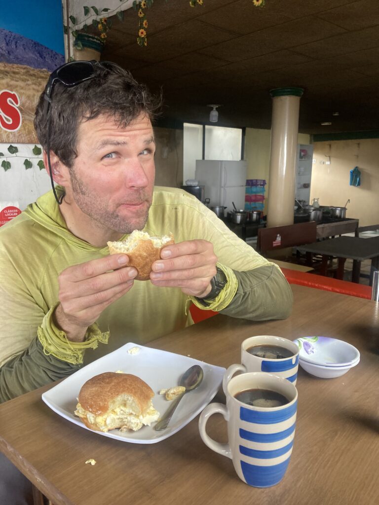
Climbing out of Ambato“Desayuno express” (breakfast) along the route – bread with cheese and a side serving of eggs…we made egg & cheese sandwiches. Patricia struggled with the climbing in the Andes…not sure if it was altitude or loss of fitness…here we stopped at a bus stop to take a break (the second time we had to stop to let her recover).
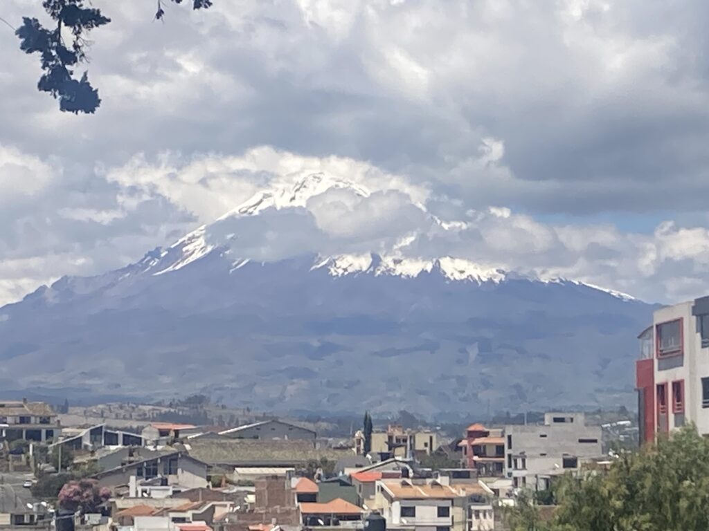
We cycled up to 11,800 ft and past Chimborazo, Ecuador’s highest peak at 6263m / 20,550 ft. The top of Chimborazo hid in the clouds for all of our viewings but it was still mighty impressive. Chimborazo is famous for being the world’s tallest mountain (when measured from the center of the earth as compared to measuring from seal level) because the earth is not a perfect sphere but rather bulges at the equator. So we claim we rode past the world’s tallest mountain on this bicycle journey 🙂
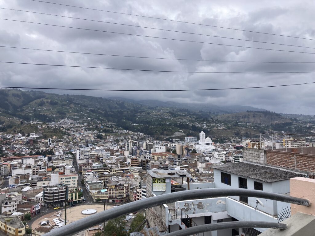
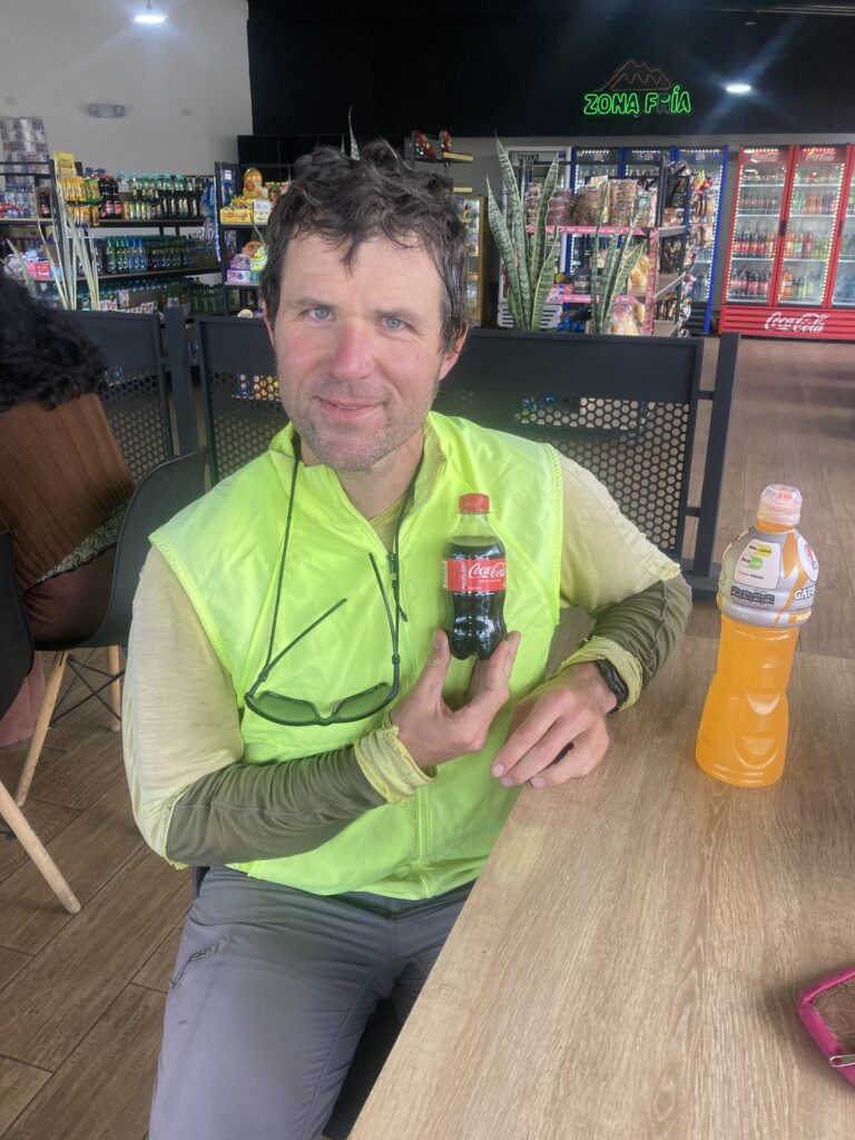
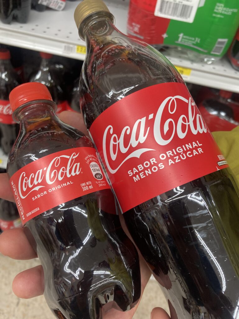
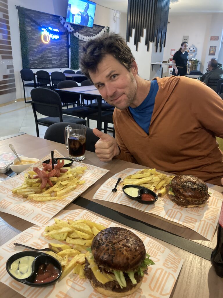
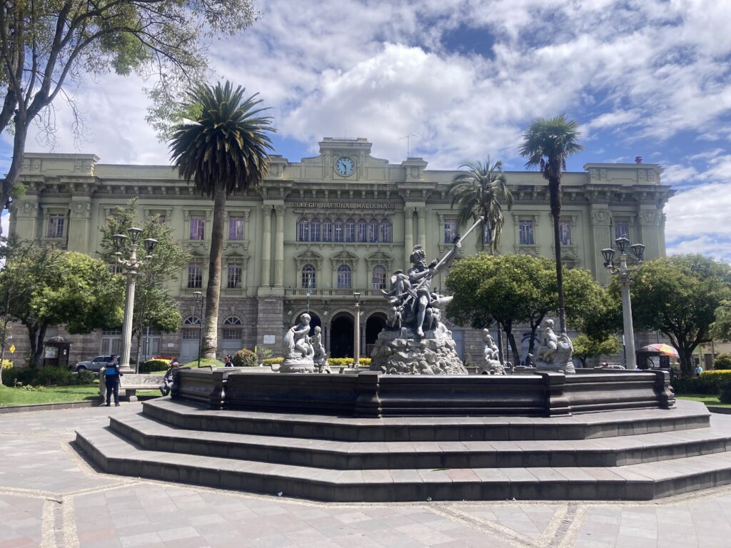
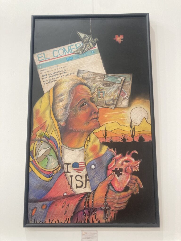
Finally to the top of the climb we let the bikes rest for a minute so we could take in a view of Chimborazo, the peak was hidden in the clouds.We’d cycled next to the world’s tallest mountain! Chimborazo selfie Fast downhill into Riobamba – took us 4 hours to go uphill and less than 1 hour downhill to cover about the same distance.On our way down the mountain toward the town we took another break and Dustin shows the largest size of Coke “Sabor Original” (original flavor) that we have found anywhere in Ecuador. All of the larger Cokes we’ve found have been “Sabor Original Menos Azucar” (original flavor less sugar)All of the larger Cokes we’ve found have been “Sabor Original Menos Azucar” (original flavor less sugar) – the tiny one on the left is the largest size of “Sabor Original” (original flavor) that we’ve found. Not sure if this is a local preference or government regulation?We had a very cute historic colonial hotel in Riobamba with a central courtyard and great HOT showers 🙂 Our first night in Riobamba we went out for burgers – something was lost in translation and we thought the burger didn’t come with fries so we ordered an additional side of fries by accident (still need to work on our Spanish!)Just across from our hotel At the city museum there was a contemporary art display and this one caught our attention – we think it says 148 desperate Ecuadorians died at the border with MexicoOn our rest day in Riobamba we did a walkabout and check out the local marketRiobamba walkabout Riobamba’s cathedral with Chimborazo visible in the distanceChimborazo looms large over the city of Riobamba
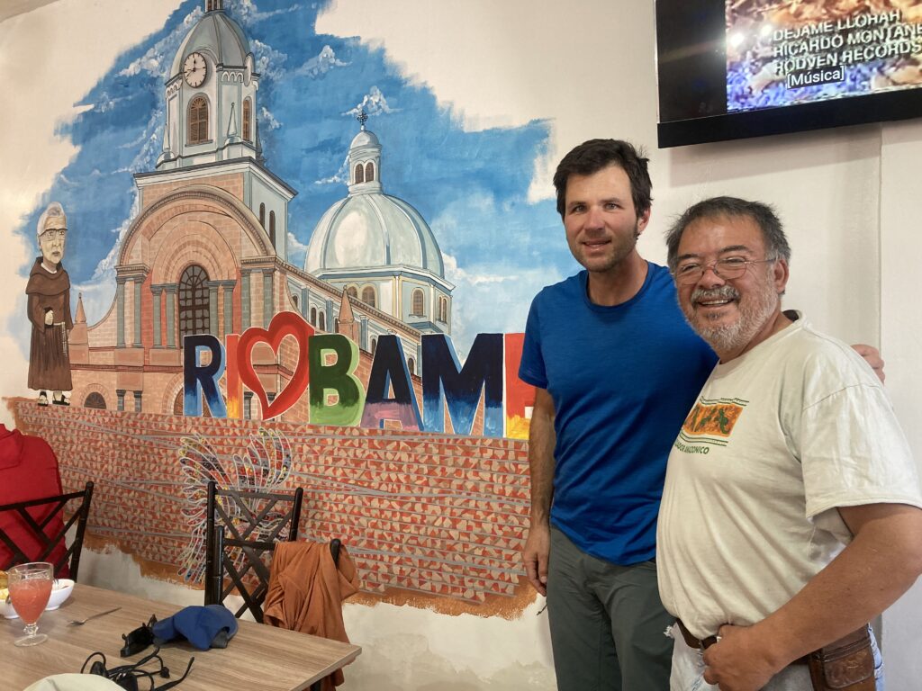
During our walkabout we found a cute place for almuerzos (large lunch) – it was the BEST almuerzos we have eaten in Ecuador. After we bumbled through with our limited Spanish and ordered our food, a couple came over to speak with us in English. As it turns out they were the owners of the restaurant and had spent 35 years living in New York (Queens to be specific, the same place my mom was born!). Guido was a civil engineer and now “moves plates for his wife” – they were a lovely couple and invited us to stay with them the next time we are in Riobamba.
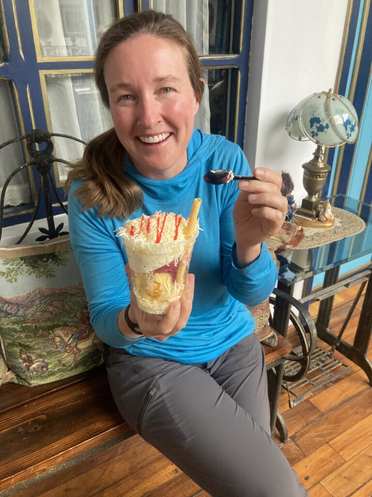
Dustin and Guido next to a mural of Riobamba in their restaurant – its the same mural shows the same church we took a picture of (above) – what a great guy! Helado con queso (ice cream with cheese) – we’d seen it a few times and just had to try it…quite good blend of the sweet & savory 🙂
Guamote
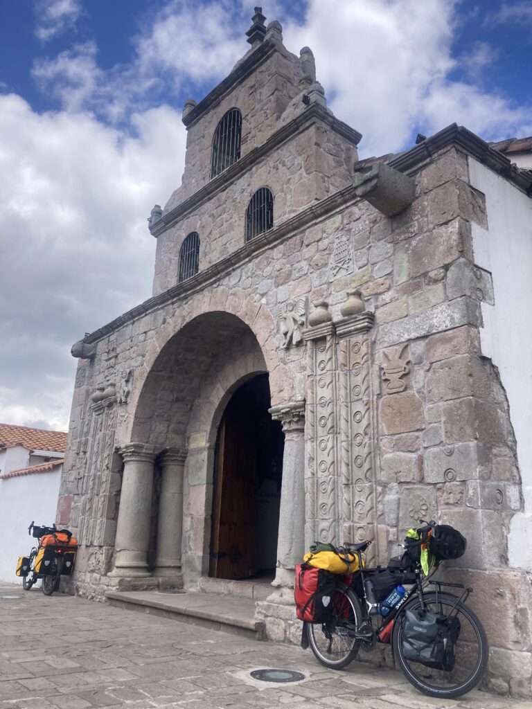
During our ride to Guamote we climbed for the first 20km – there seems to be a climbing theme here in the Andes! When we arrived at the top of the climb we stopped at Ecuador’s oldest Christian church, founded in 1534.
Climbing seems to be the theme of everyday – we are in the Andes 🙂 Inglesia de Balbanera is the oldest church in Ecuador, founded by the Spanish in 1534.
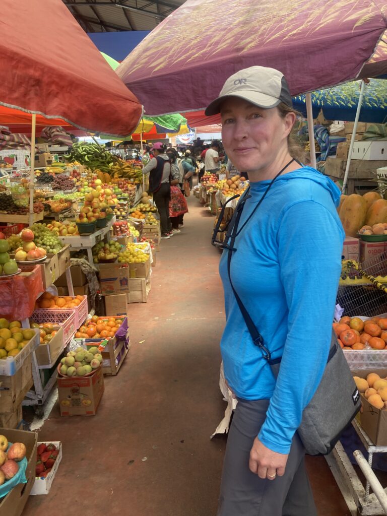
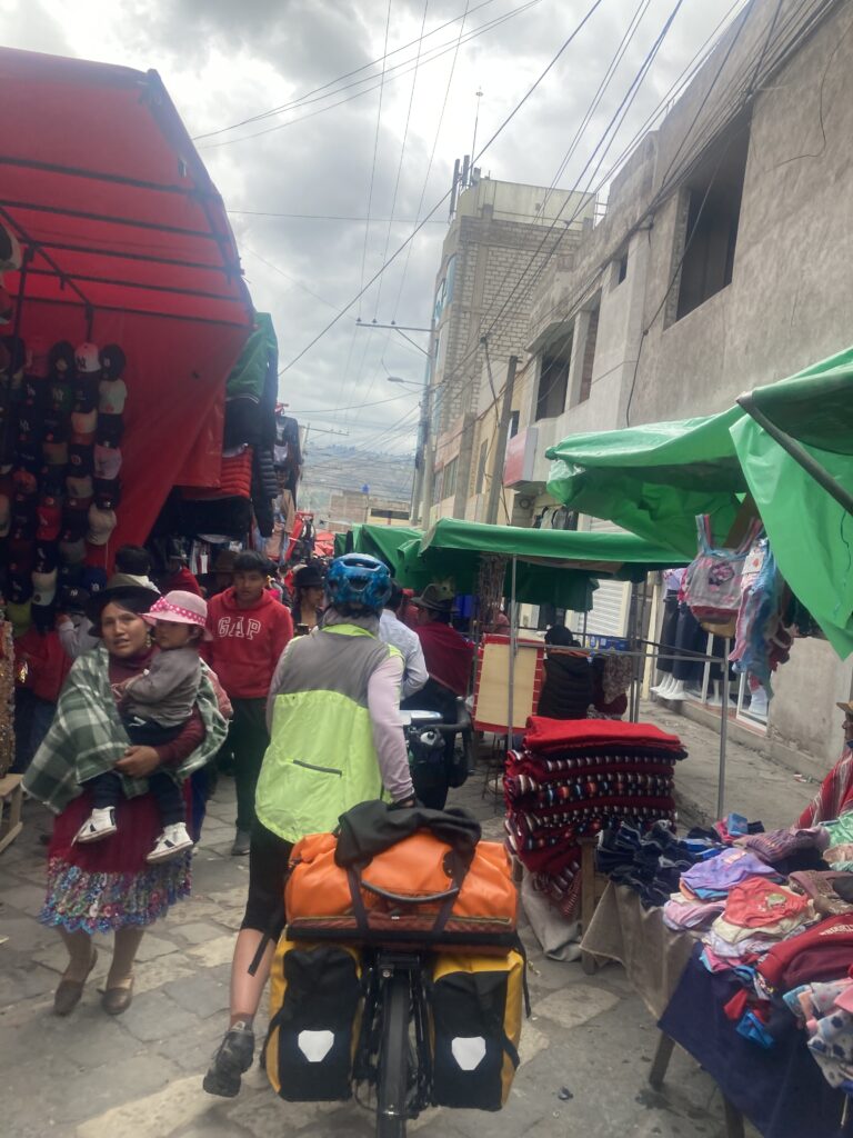
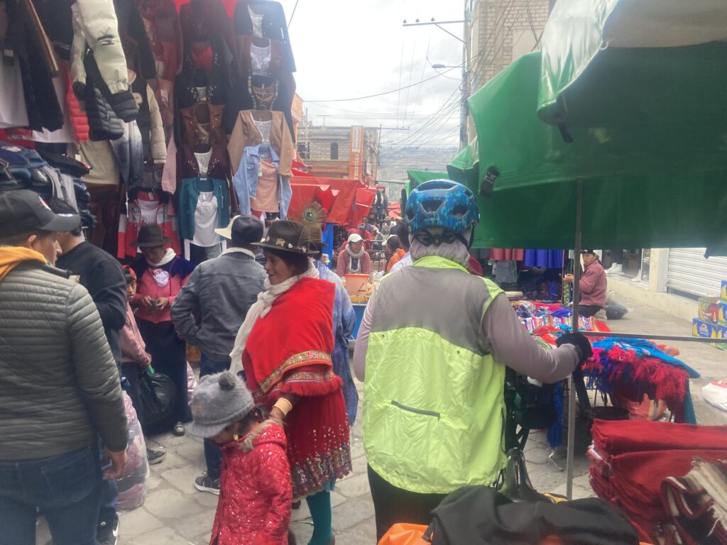
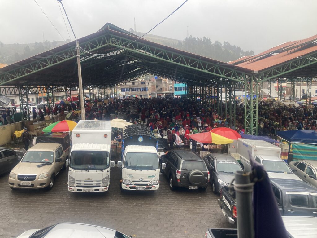
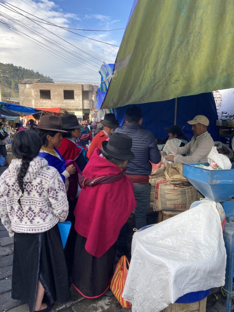
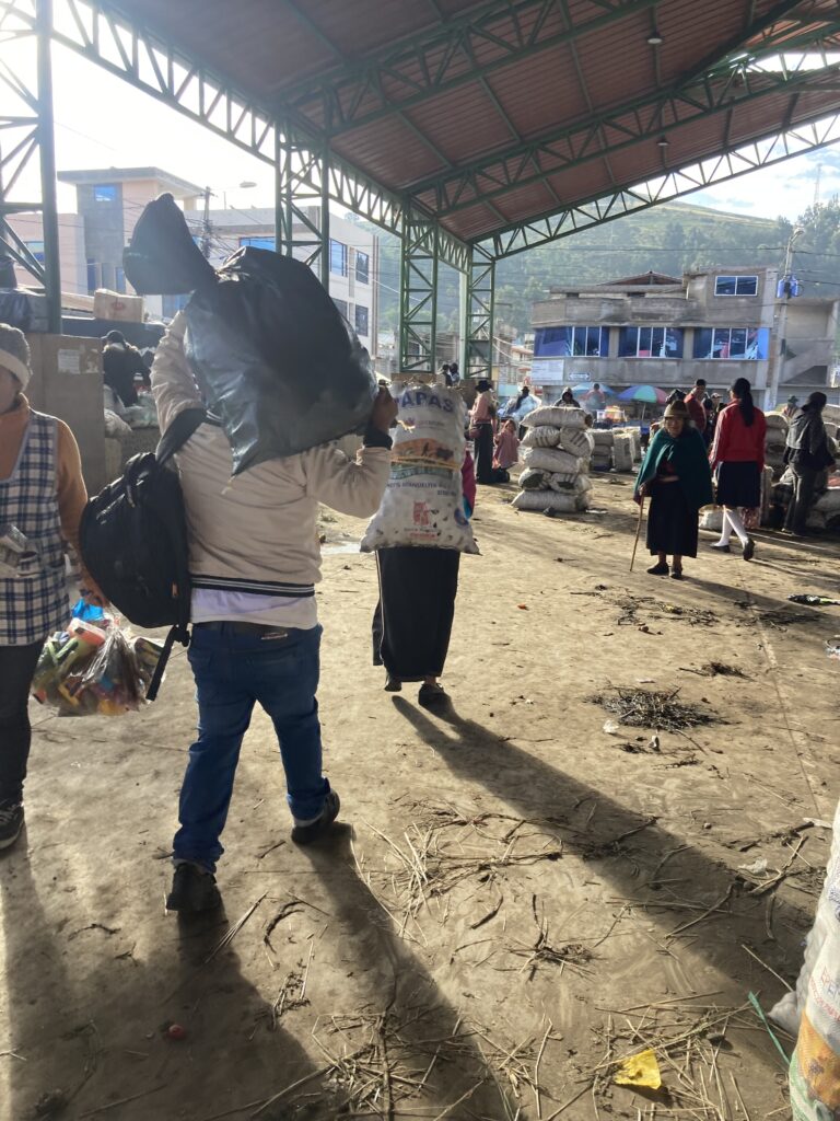
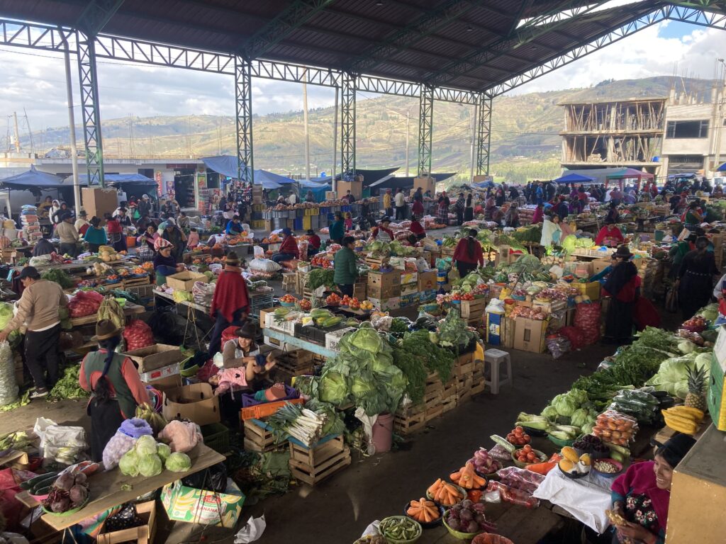
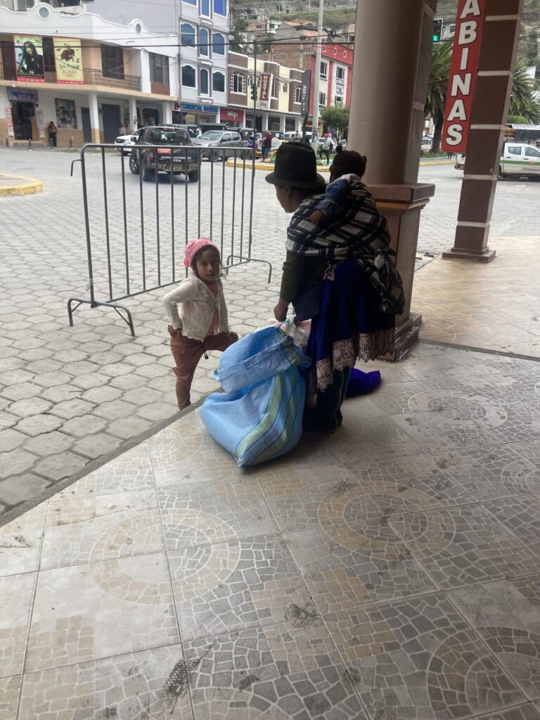
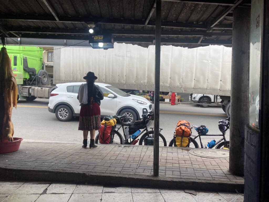
It was a gentle downward slope for the rest of the ride into Guamote – we were excited to have made good time because we’d heard that Guamote has a large Thursday market and it just happened to be Thursday. We came into town on the old Panamerican Highway and were shocked to find that the market takes over the ENTIRE town! In attempting to get to our accommodation we tried to turn down two streets that were just packed with people. Finally when the third street was also packed with people we decided we had to go for it and dismounted and walked the large loaded touring bicycles through the crowd. At one point a mattress moving down the street caused a market-jam and we just had to wait.
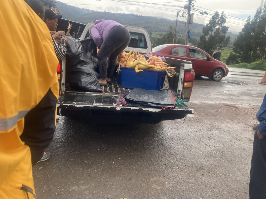
After the climb we cruised through farms and small villages before reaching the town of GuamoteOnce we got into Guamote, we realized how large the market was. With no other choice to get to our hostel, we walked the loaded bikes through the market.Walking through the market attempting to reach our hostel. Our hostel room window looked out on the main covered area of the market but it appeared the market took over the entire town.People wait to get grain milled with one of the vendorsChickens are bagged from the back of a pick-up truckPeople leave with large loads – the woman walking in front has a huge back of papas (potatoes) strapped to her back.The vegetable area of the market
Alausi
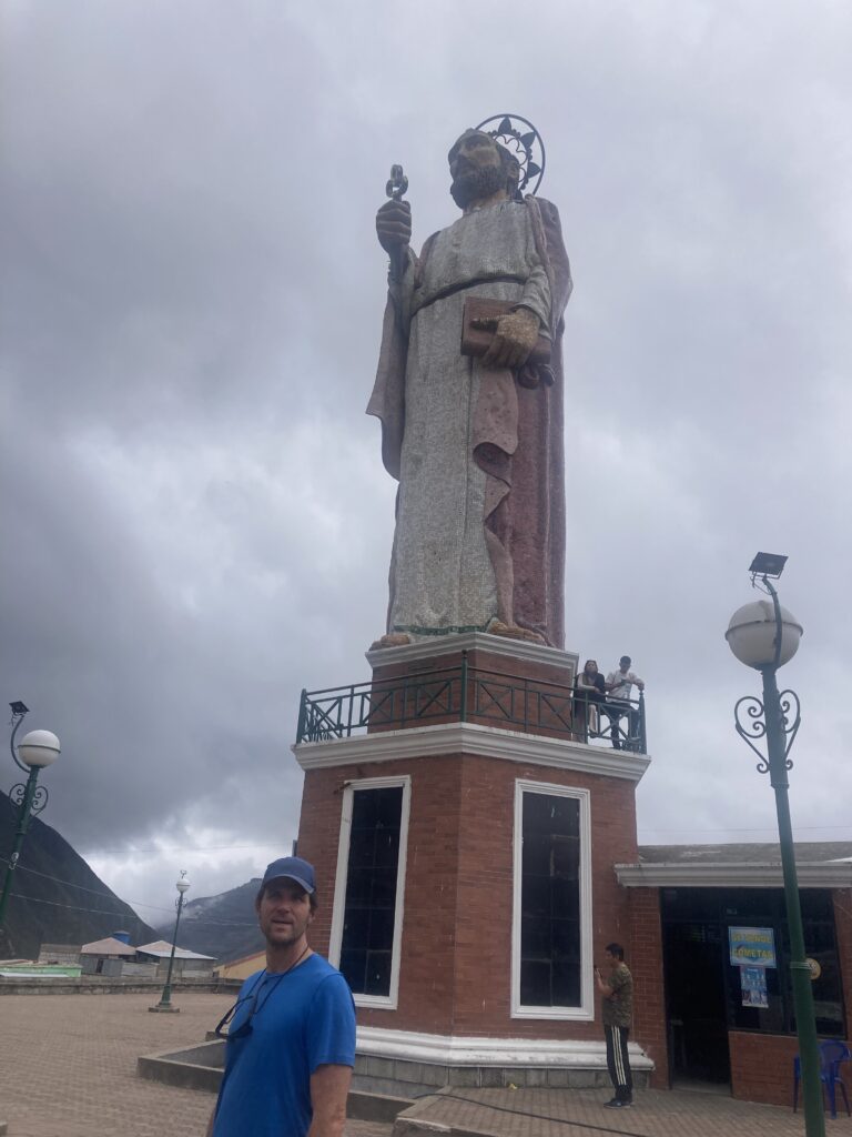
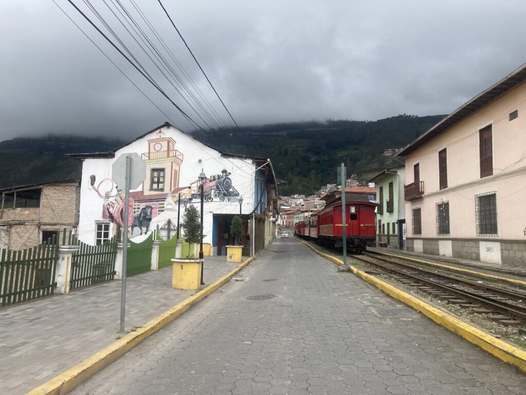
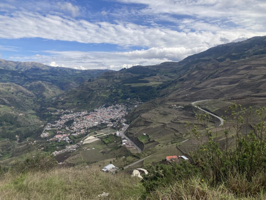
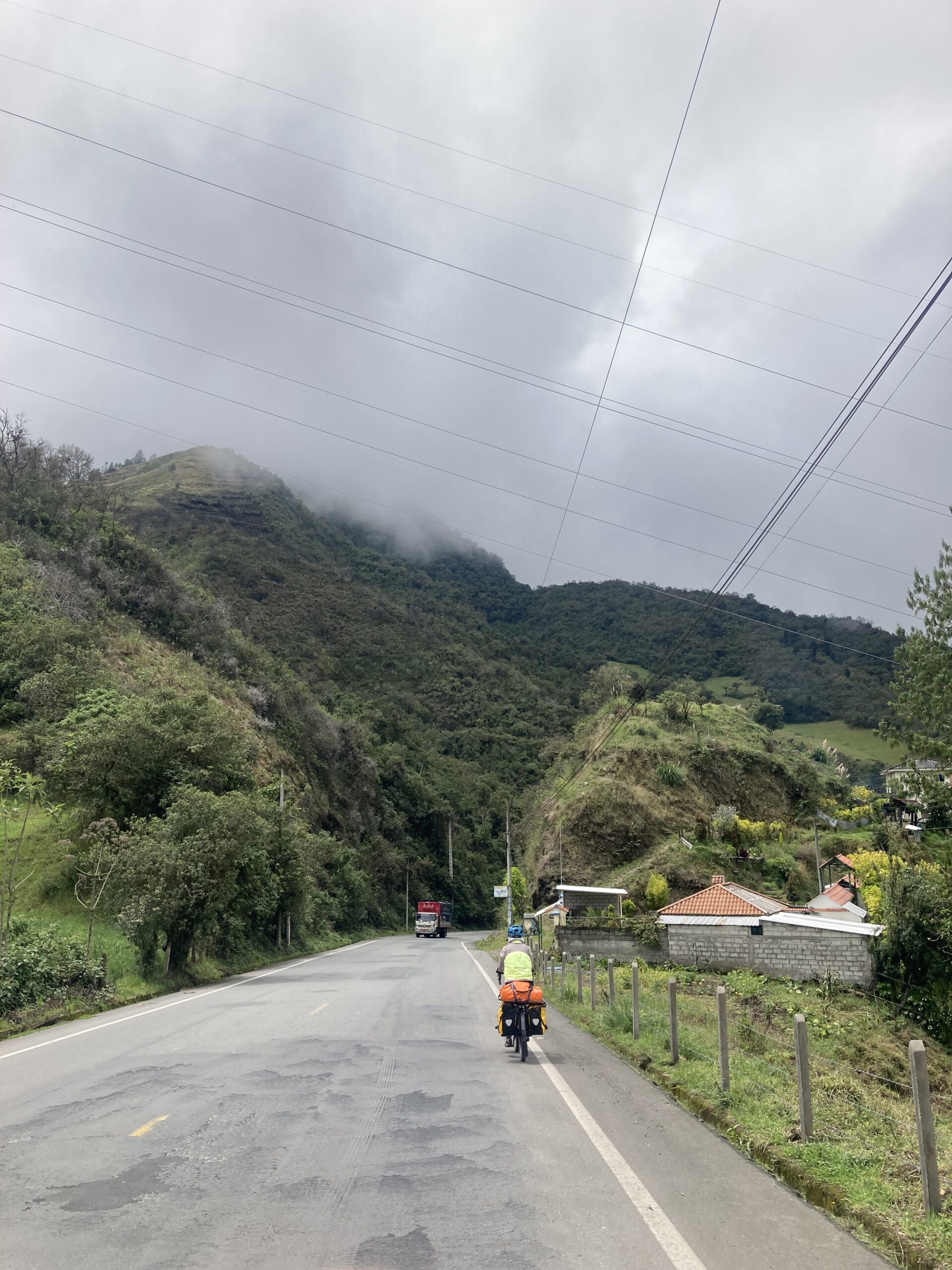
Our next Andean town was Alausi, famous for its train which carries tourists up switchbacked tracks for amazing views of the Andes Mountains. We climbed again at high elevation – it feels like our lungs are getting better used to pedaling at 11,000 feet – no extra stops for Patricia to recover 🙂
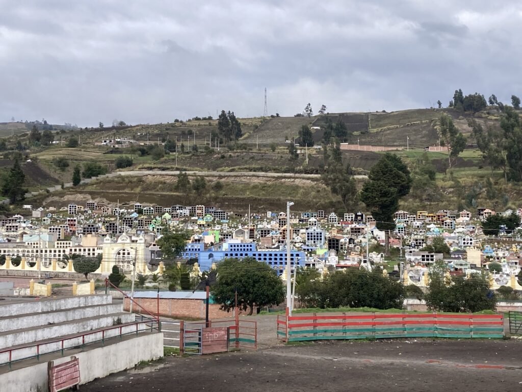
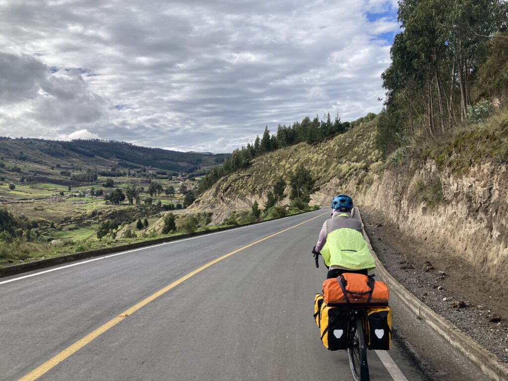
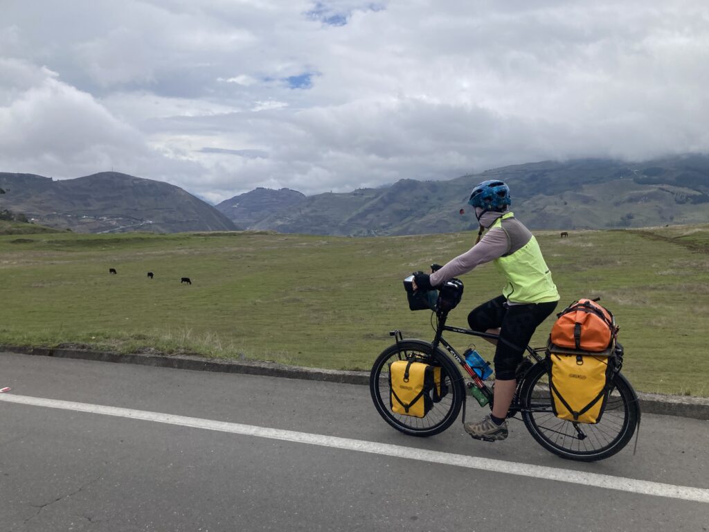
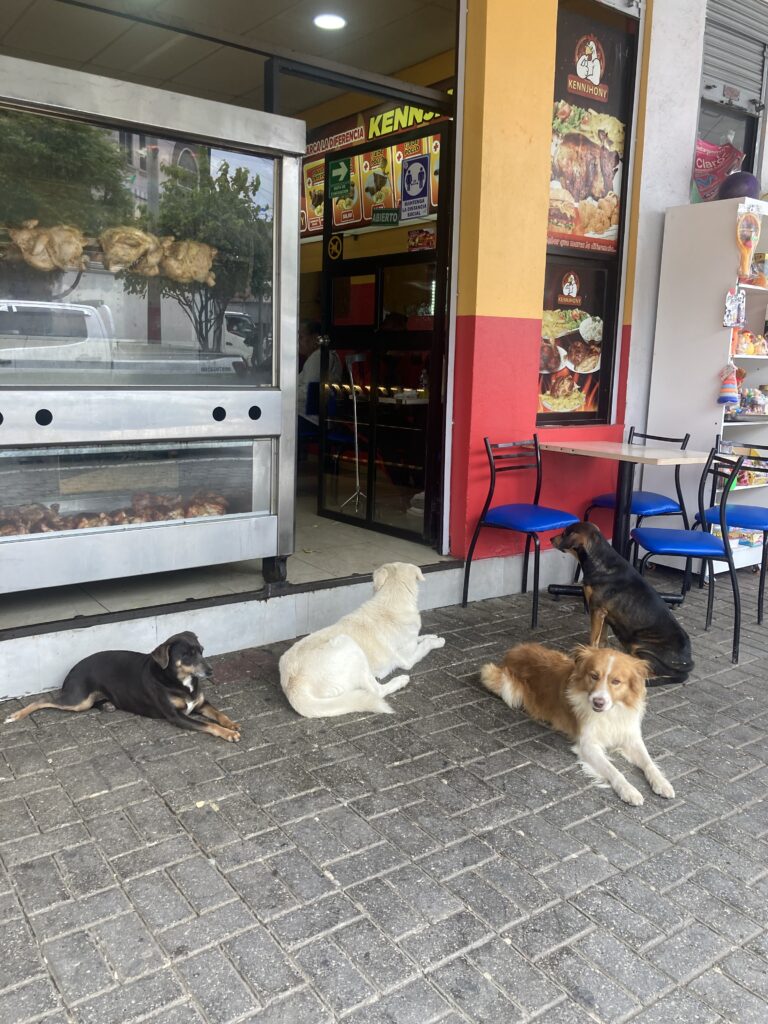
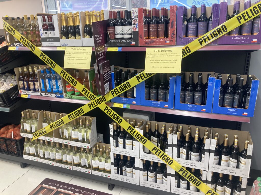
Leaving the town of Guamote we passed by this cemetery It was a beautiful ride all day longMore epic Andes riding – “this time I got your face instead of your back”Can you tell who takes all the pictures while we ride?!The town of Alausi set in the Andes mountains – it was a *steep* ride to get down there…and will be a steep clime to get out of there. Dustin coming down one of the very steep grades to get into townThe road, part of the Panamerican Highway, also included several switchbacksIn town trying to find our accommodation…Dustin the giantSo happy to be done biking for the dayA giant statue of Saint Peter watches over the town of Alausi.The famous Alausi trainWoman in Alausi with a child on her backDogs outside of a chicken roaster awaiting scrapsThis was so interesting…it was Friday afternoon and the sign stated no alcohol sales until Monday at noon because of the election on Sunday. We love how they used “Peligro” (Danger) marking tape 🙂
Epic Andes
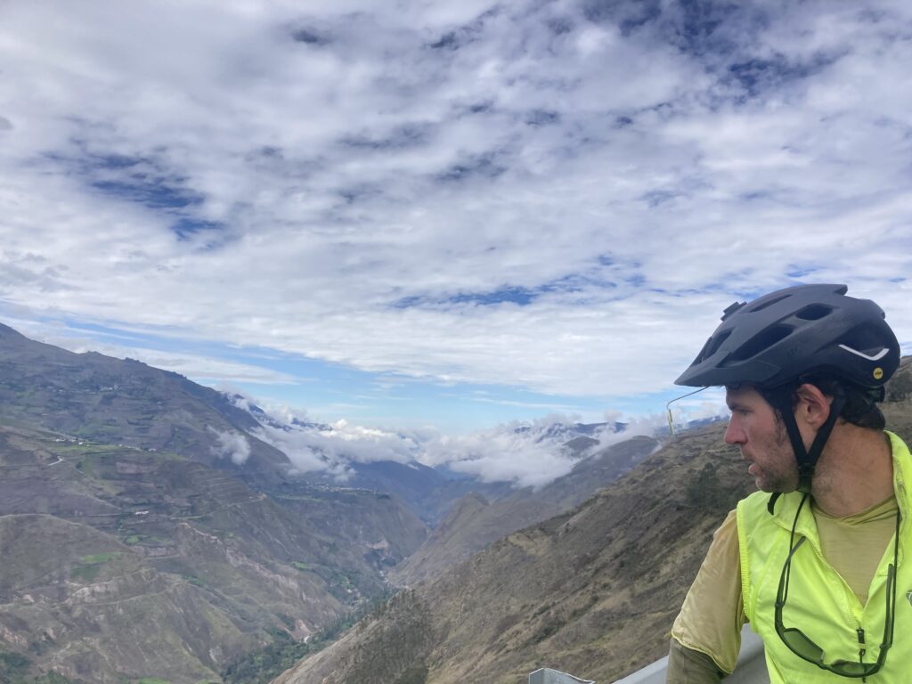
Wow! We had a great day of epic Andes riding from Alausi to Chunchi – weather was great all morning and we climbed up and then had great views while we coasted downhill several times.
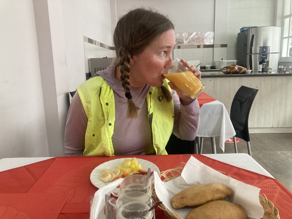
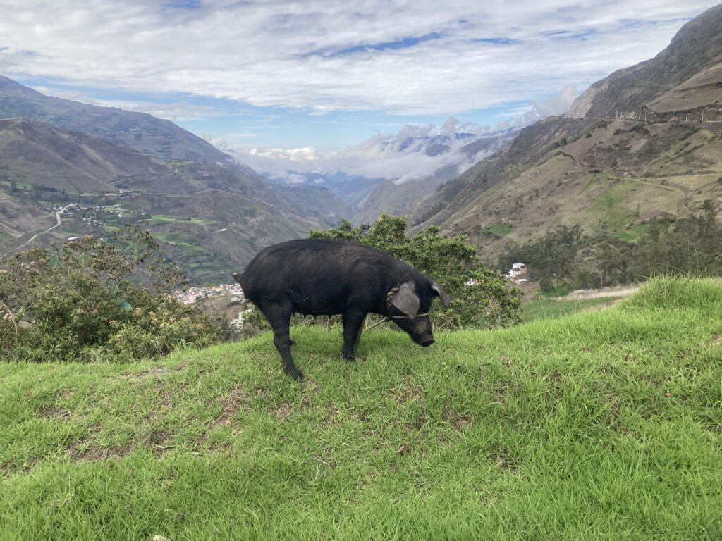
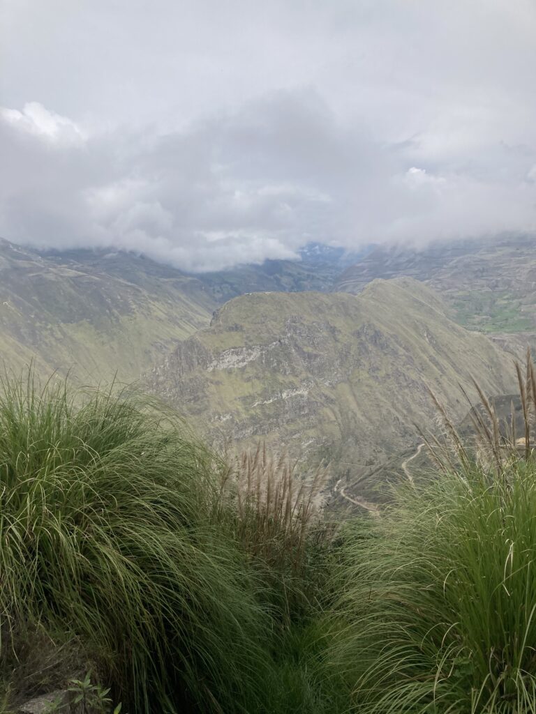
Fueling up for the day at the hotel’s included breakfast – “not oatmeal again!” It was a fruit plate, fresh juice (blended with sugar), eggs, & pan queso. Climbing out of Alausi was challenging but the road was in excellent condition and the little traffic that passed was polite. You can see our road in the middle and then on the right hand side of this picture – we pedaled quite a few switchbacks today. A tied up boar/pig eats next to the side of the road with an epic mountain view behind – we’re seen quite a few of these lately.Dustin takes in the valley below – we were above the cloudsWe do believe this is the “Nose of the Devil” the destination of the tourist train. Later in the ride the clouds rolled in…these “las letras” would have an amazing view without the cloudsThe church on the town square in Chunchi had a modernist flare – open your eyes Dustin! Patricia rides around the town square searching for an accommodationDustin started taking pictures and reviewing our accommodations for a bicycle touring app – here’s our room in Chunchi at the hostel.
El Tambo
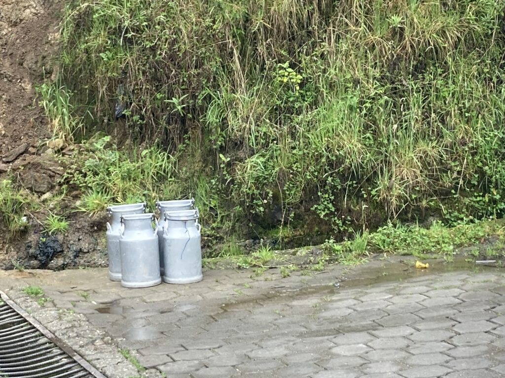
On our way from Chunchi to El Tambo we spent almost the entire day in the clouds…not every day can be epic Andes 🙂
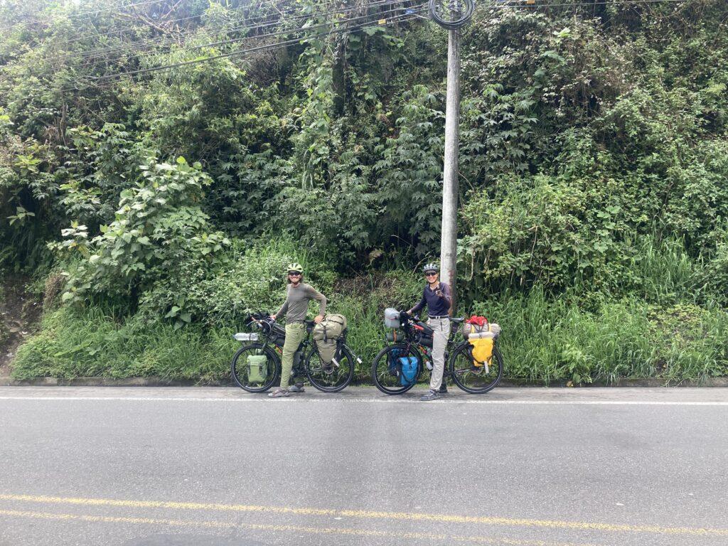
Climbing out of Chunchi was our only view of the day…all the rest was clouds. Its OK – we had a big climbing day so staying cooler was nice. Climbing into the cloudsMilk on the side of the road awaits pick-upClouded in but still nice views 🙂 More up…we climbed almost 5,500 feet between Chunchi & El TamboLunch stop in Zhud – all the local restaurants were hanging pigs. We picked the one that had seating with a view of the bicycles. While we ate lunch this local woman checked out our bikes We came across two other cyclists, Elisa & Cristian from Italy, who started in Ushuaia, Argentina in November 2024 and are headed north to Mexico.
We took a day off in El Tambo to rest our legs after the huge day of climbing. We cooked dinner in, watched a movie, lazed around the next morning and took a late (8am) breakfast.
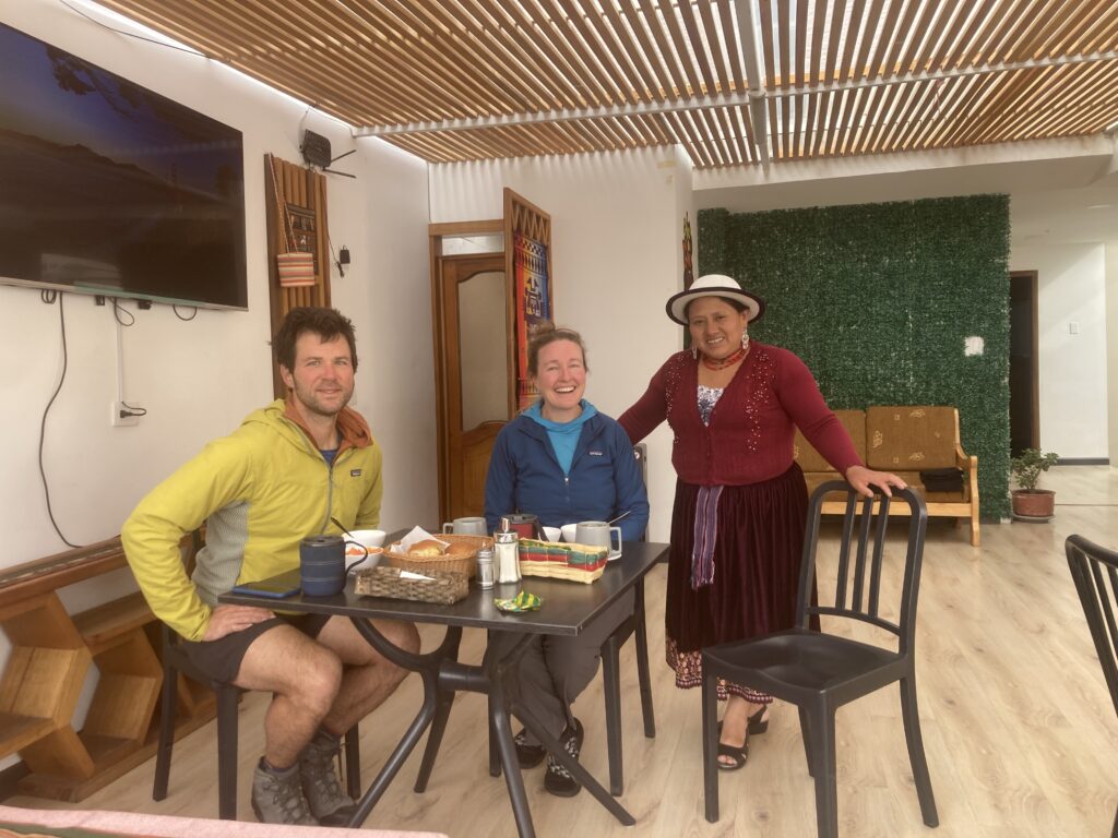
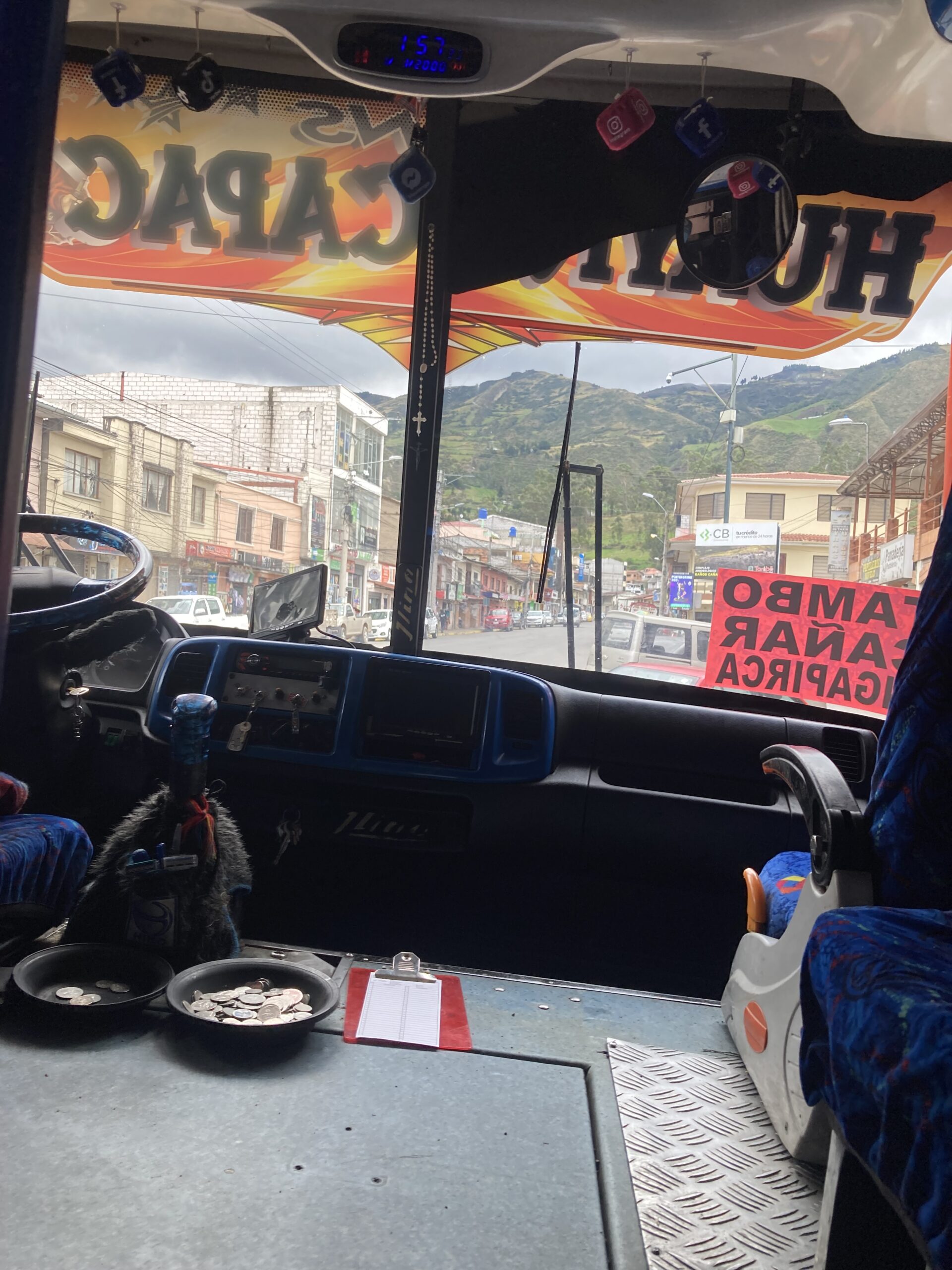
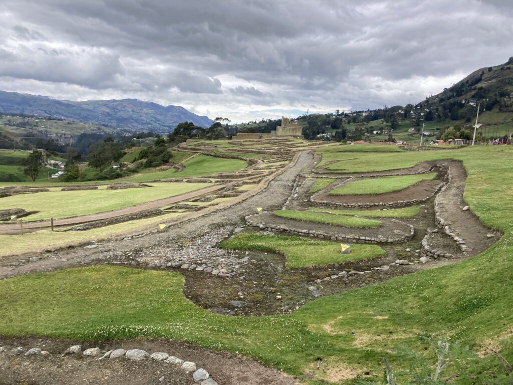
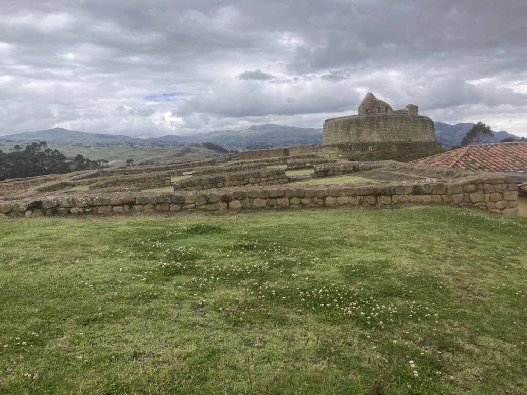
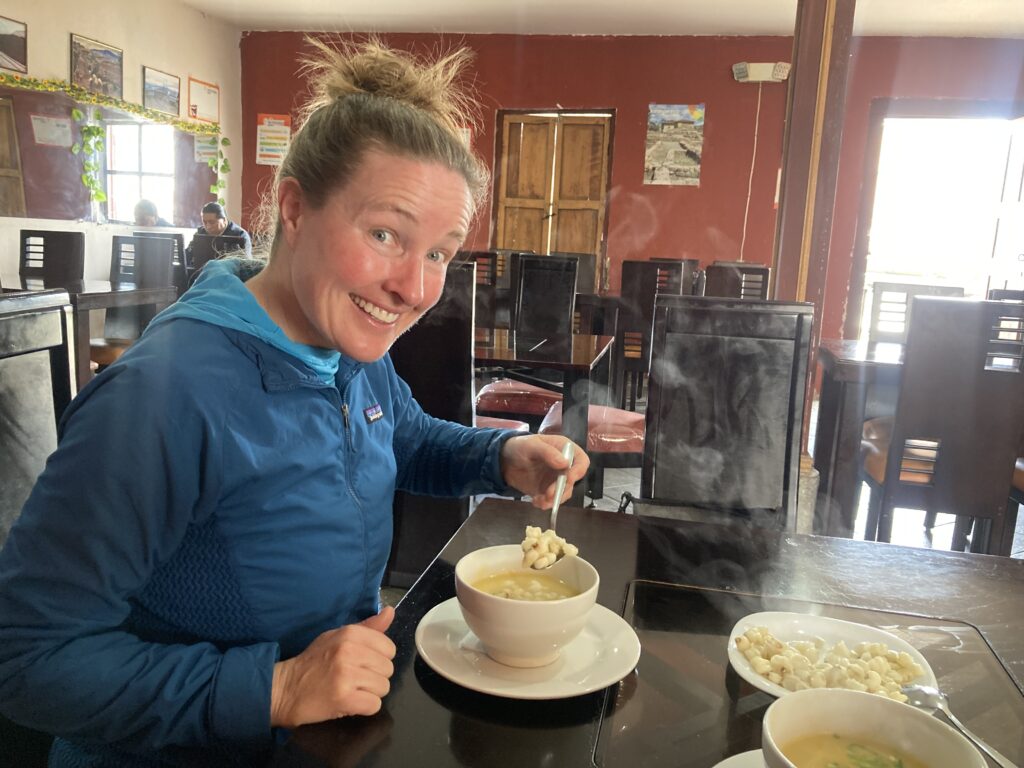
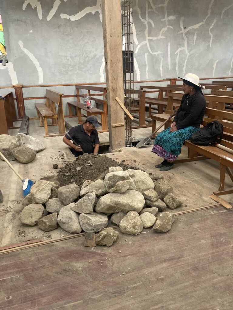
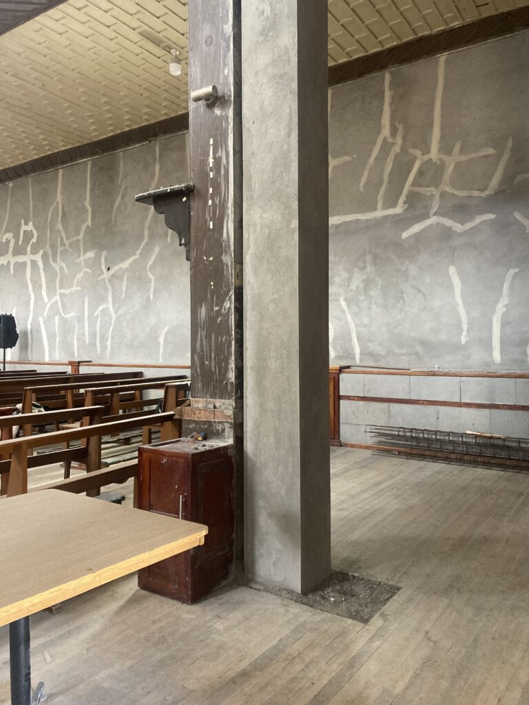
The proprietress of our hostel, Hostel Chasky Wasy, is indigenous Canaris and wore the traditional attire.We took the local collectivo bus out to a historical site – coin payments were put in plates when you exited the bus for easy change. Also, most busses we’ve seen are manual transmission 🙂 We took a bus to Ingapirca, the largest known Inca ruins in Ecuador, it was closed Sun – Tues but we were still able to walk around the exterior.Most famous for the Temple of the Sun, an elliptical shaped building made of non-mortared stone.First course of lunch was a soup where you added steaming mote, large boiled corn kernels. El Tambo’s church on the main square.Inside the church it appeared they were replacing the pillars but first they had to dig out the foundation and get to a solid base. A local woman provides moral support 🙂 A completed replaced pillar.
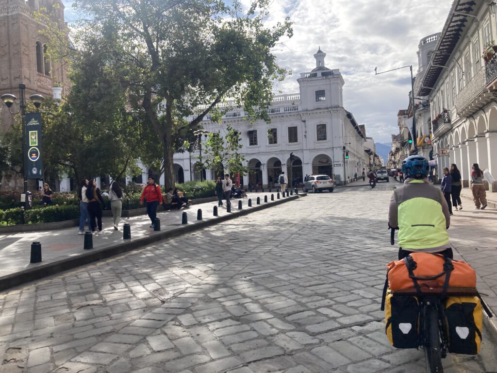
On our last ride of this segment we rode from El Tambo to Cuenca – it was a 16km slog uphill to be greeted by cooler temperatures and rain. This was the first time we completely rugged up in all our rain gear including pants, booties & mitts since who-knows-when.
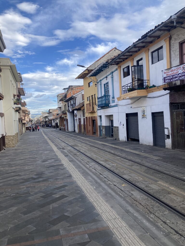
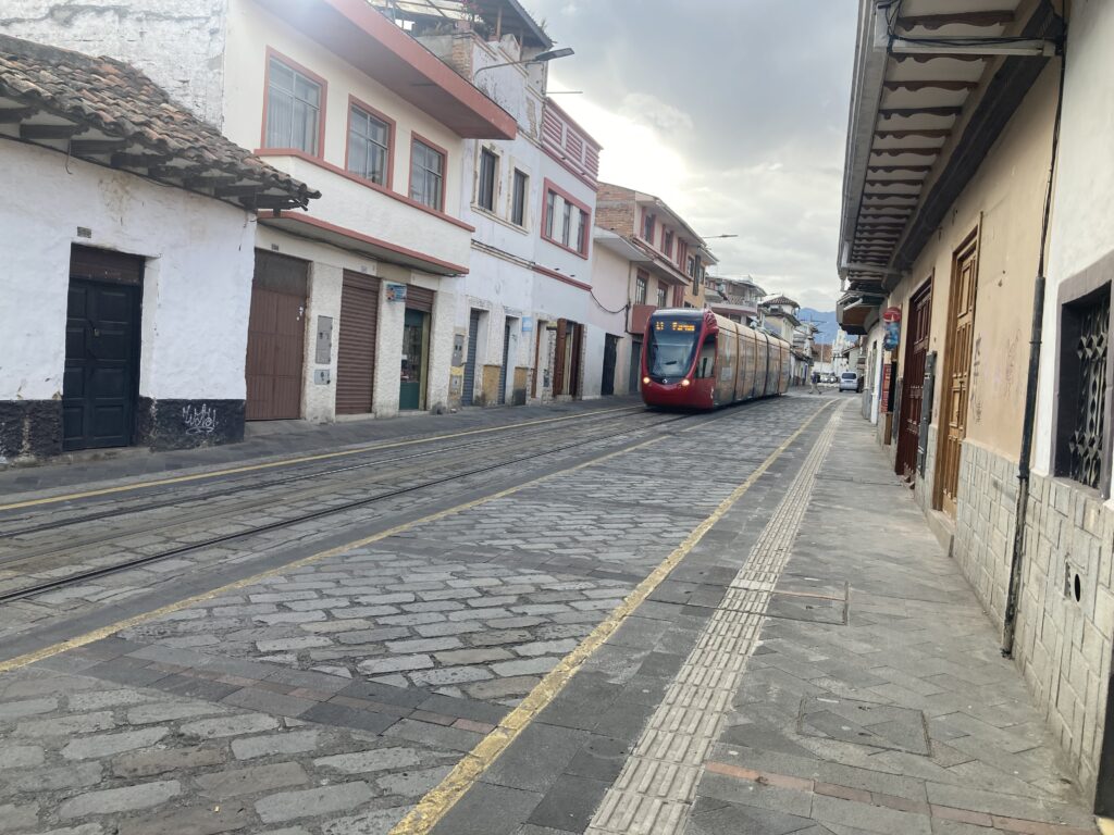
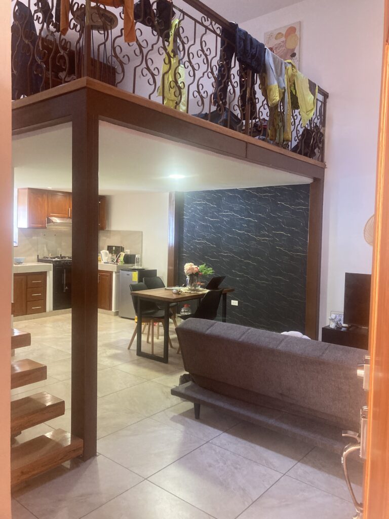
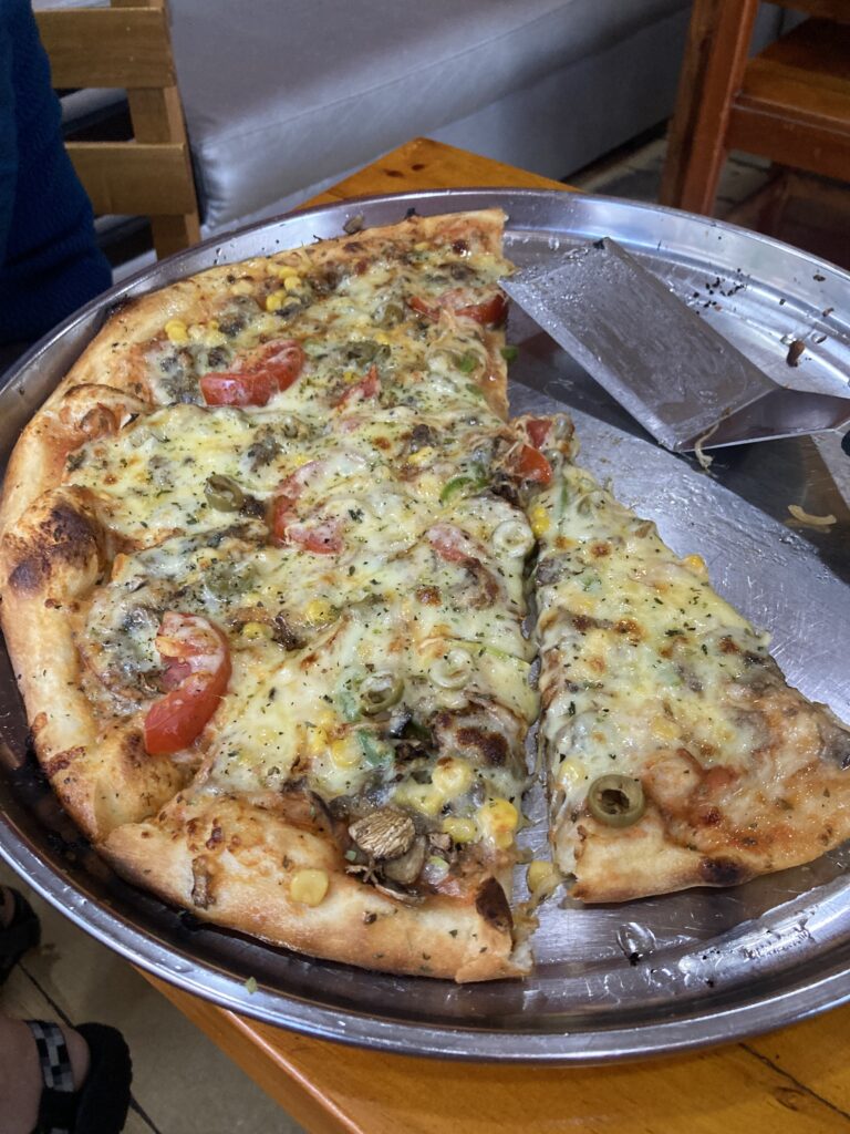
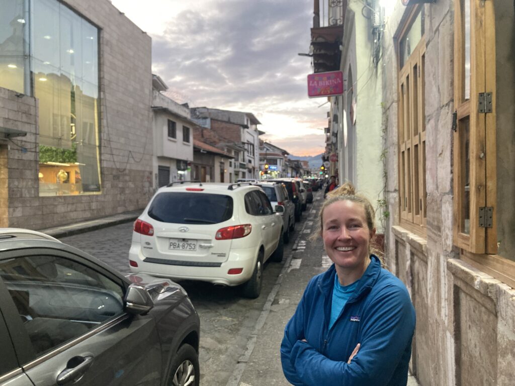
We decided to check our brakes before the 30k downhill into Cuenca – Dustin’s needed replacement. Patricia & her “friends” – the dogs of Ecuador have been more numerous and aggressive than we’ve seen all trip. A firm NO usually halts them but we’ve had to stop and dismount once for a particularly angry “friend”. Valley view back to El TamboFully rugged up, including booties/mitts, and ready for our wet & cold 30k downhill – it was not so fun…but we survived. Finally made it to Cuenca just in time for rush hourA square in CuencaThe street our AirBnB is on has a light rail running through it – so nice & quiet! Light rail coming down our streetOur AirBnB for one week – an industrial loft…just ignore all those clothes hanging over the railing to dry 😉We devoured a “familial” size vegetariano pizza (with corn!) Happy Patricia – showered, fed and off the bike for one week 🙂
We’re spending a week here in Cuenca and excited to meet up with friends we first met in Mitchell, Oregon, USA. It was one of those “we might be down in Ecuador at the same time and we’ll see if our paths will cross again” – our paths are crossing again & we’re having dinner together tonight! More photos of Cuenca on the next post 🙂
We’ve had to shut off the comments due to annoying spammers – sorry! If you want to send us a message you can respond to the email (if you’re a subscriber) or use the contact form on our website.